The BigGeo USA Firmographics Dataset covers millions of US businesses with company identity, industry classification, employee counts, revenue estimates, executive contacts, corporate hierarchy, and precise geolocation. Everything your team needs to build and score target account lists.
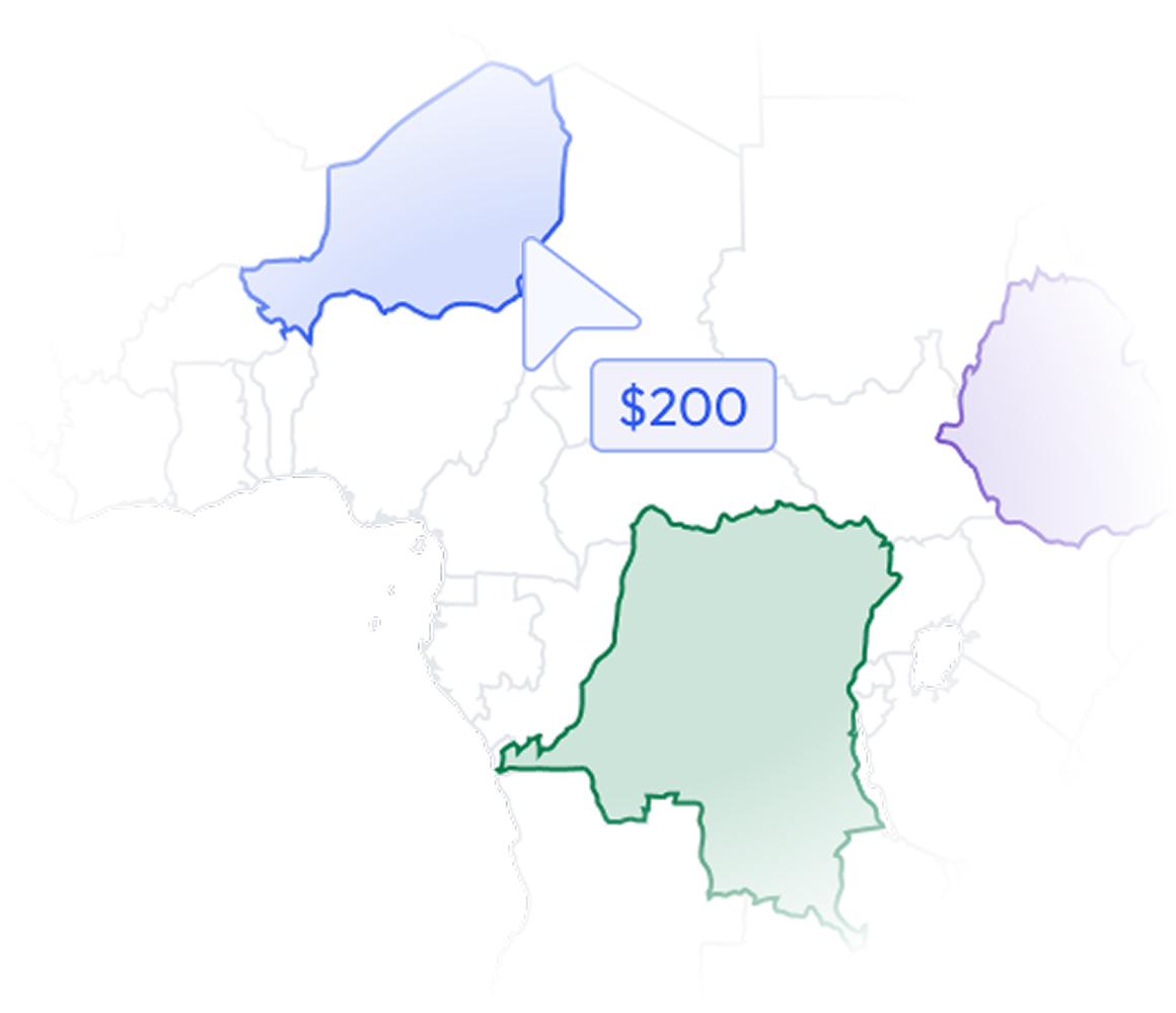
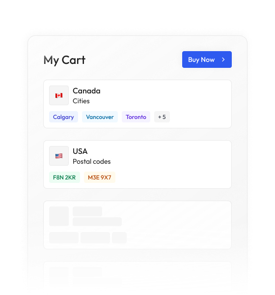
Most data vendors sell you a national license to millions of records you will never contact. BigGeo works differently.You tell us where you sell, and we cut you exactly that geographic slice of the dataset. A single city.
A cluster of ZIP codes. A metro area. A county. Whatever matches your territory. The result is a lean, CRM-ready file containing only the companies in the markets you actually work, delivered at a fraction of the cost of a full national license.
ZoomInfo and Apollo cover well-known accounts. But gaps in firmographic coverage mean you are missing companies that fit your ICP perfectly, or wasting budget on ones that do not.
Business names, website domains, LinkedIn identifiers, social media links, phone numbers, and email contacts in one unified record.
Standardized industry codes across millions of US companies so you can filter to your exact verticals with precision.
Workforce size estimates and revenue bands give your ICP scoring model the signals it needs to tier accounts accurately.
CEO and executive data including names, titles, and contact information so your outreach lands with the right person from day one.
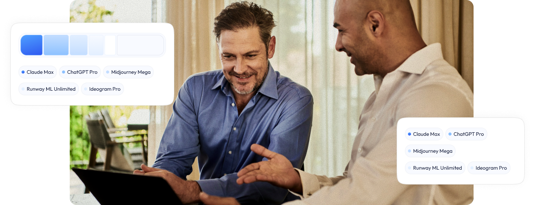
BigGeo AI works with Claude and ChatGPT. Your team can ask questions about any location in plain language and get answers grounded in governed data. No GIS skills needed. No software to install.