
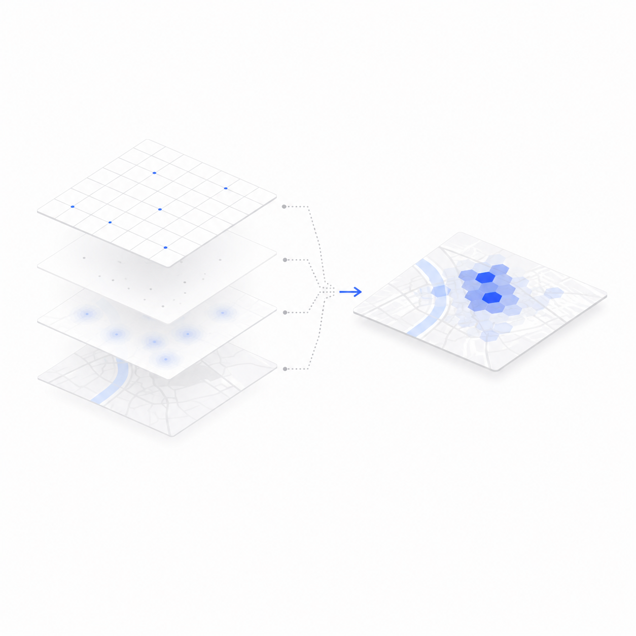
Layer your datasets on one interactive map, filter by geography, style each layer, and explore the patterns your data reveals. DataScape is where spatial data becomes something you can actually see and act on.
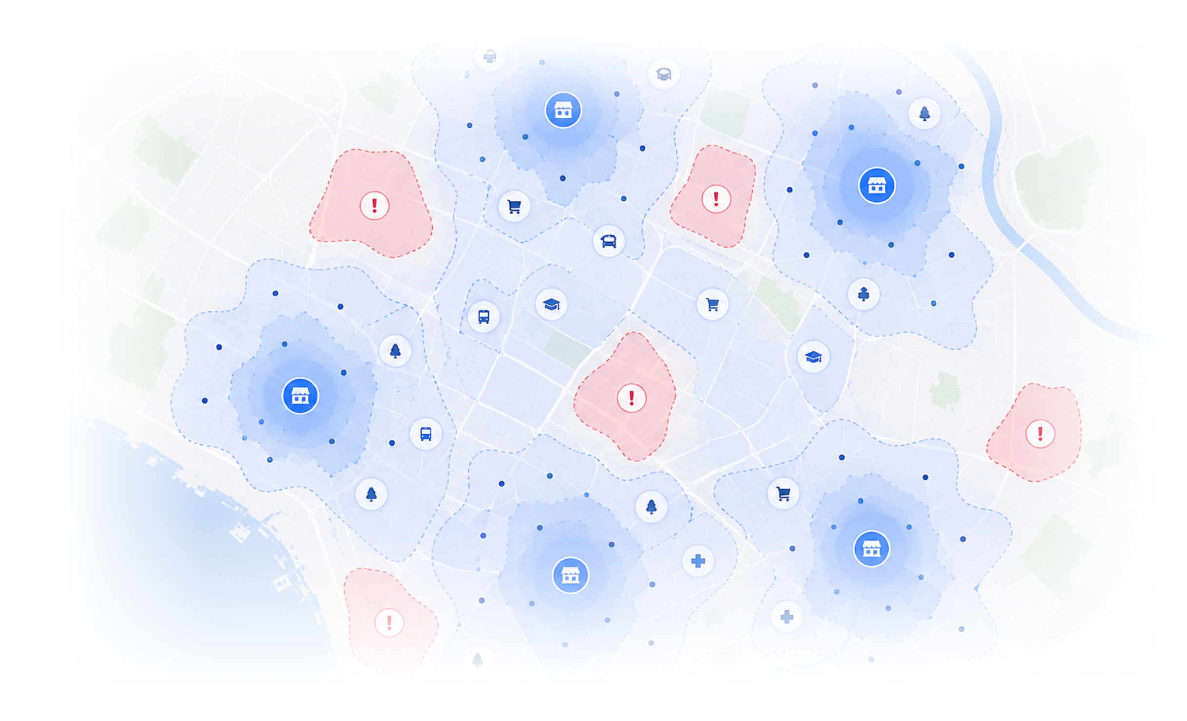
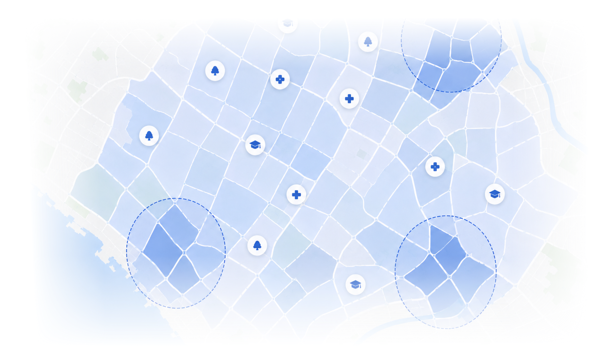
Rows and coordinates describe the world but they do not show it. The cluster you missed, the gap you did not know existed, the pattern that changes everything, none of it is visible in a spreadsheet.
Datascape puts it on a map.
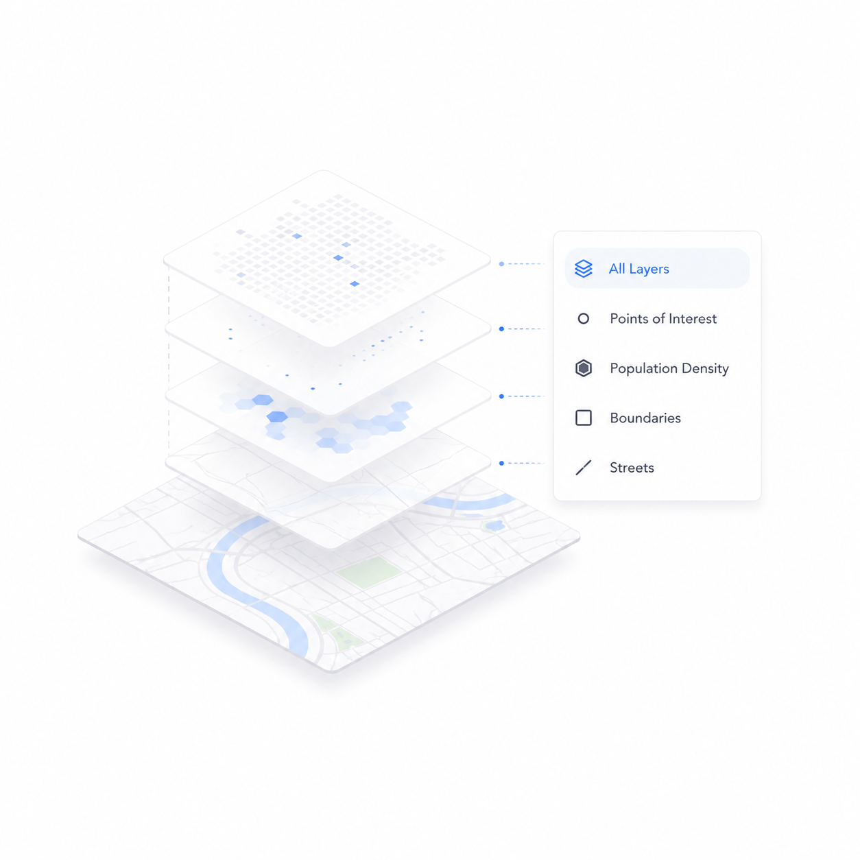
Browse free datasets from BigGeo, explore the Marketplace, or upload your own. Every dataset lands on the same interactive map, ready to layer, filter, and explore. No GIS software. No specialist. Just a map that shows you what the data actually looks like.
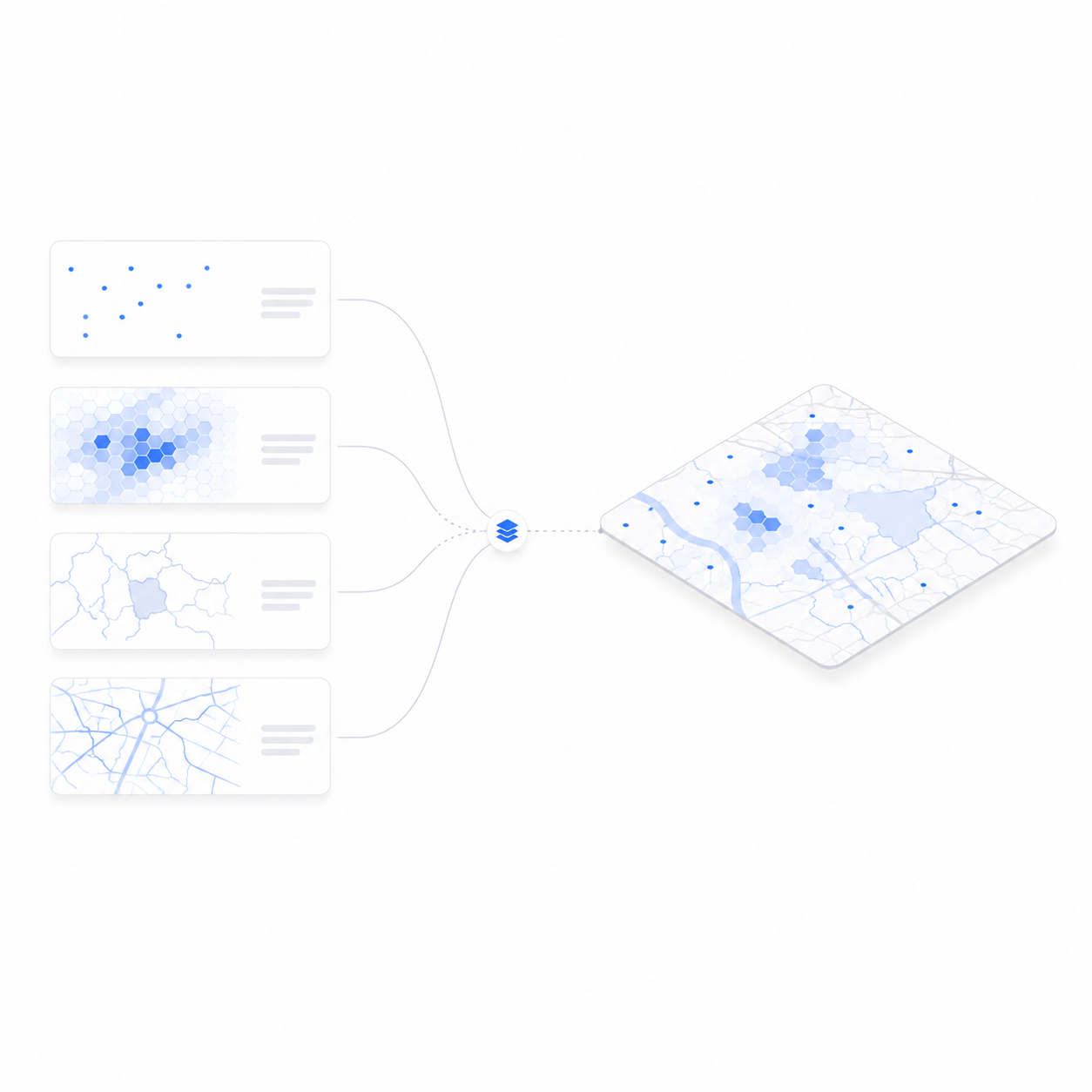
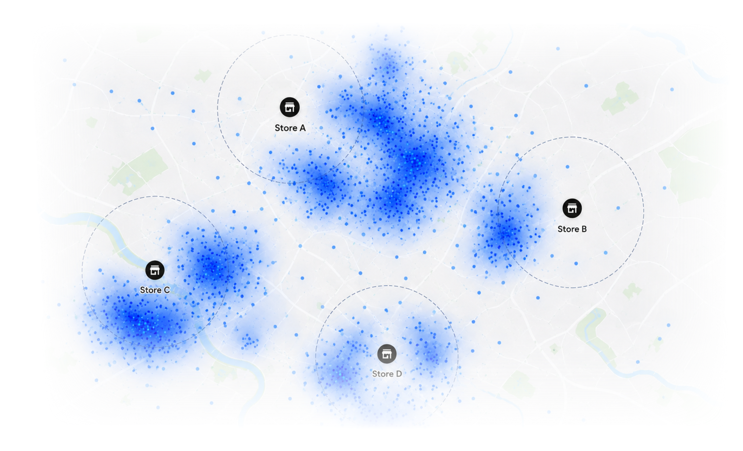
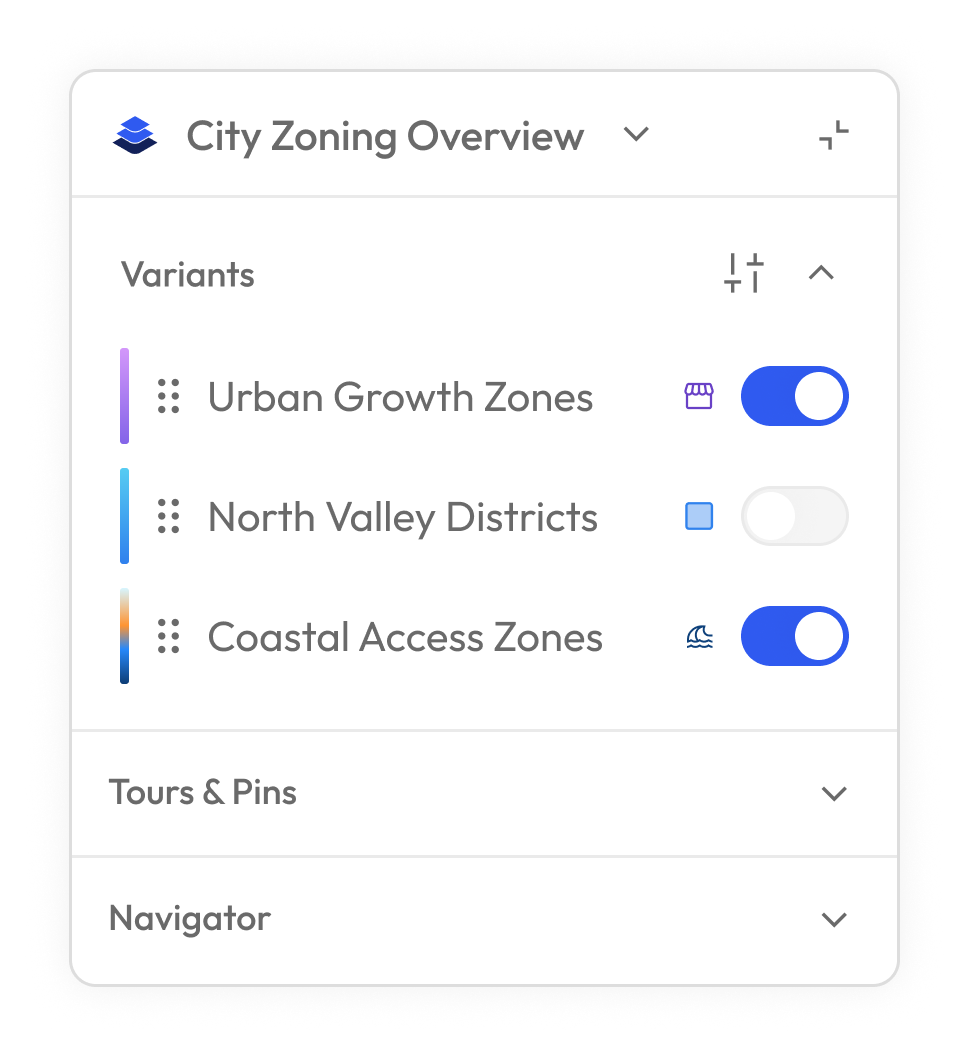
Every dataset your team owns or licenses, layered on one interactive map. Filter by geography, compare across providers, and explore the patterns that only become visible when all your data is in the same place.
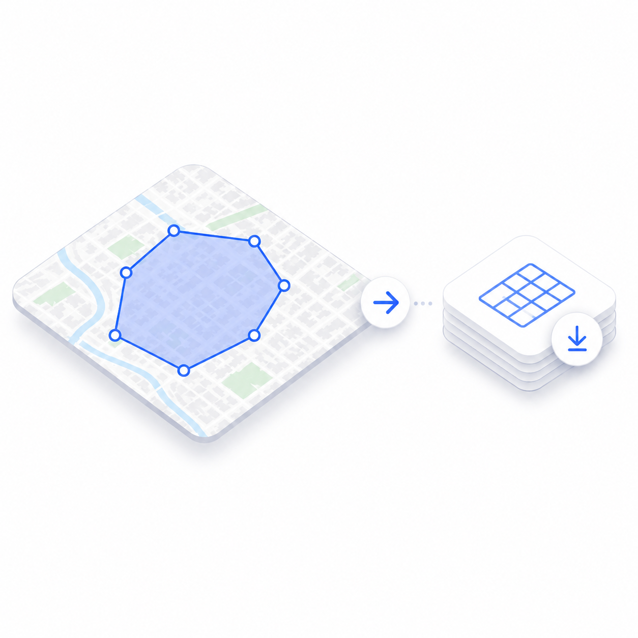
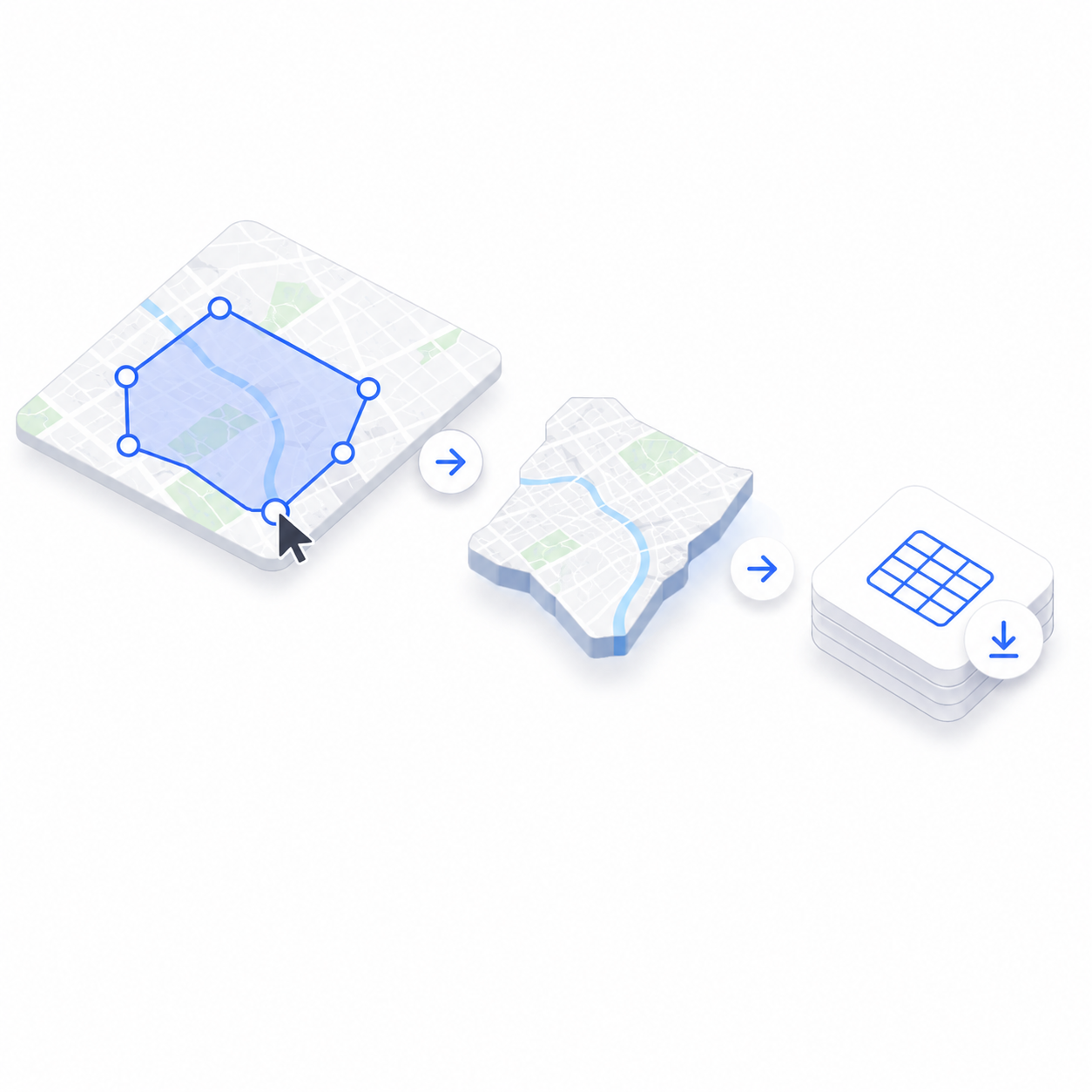
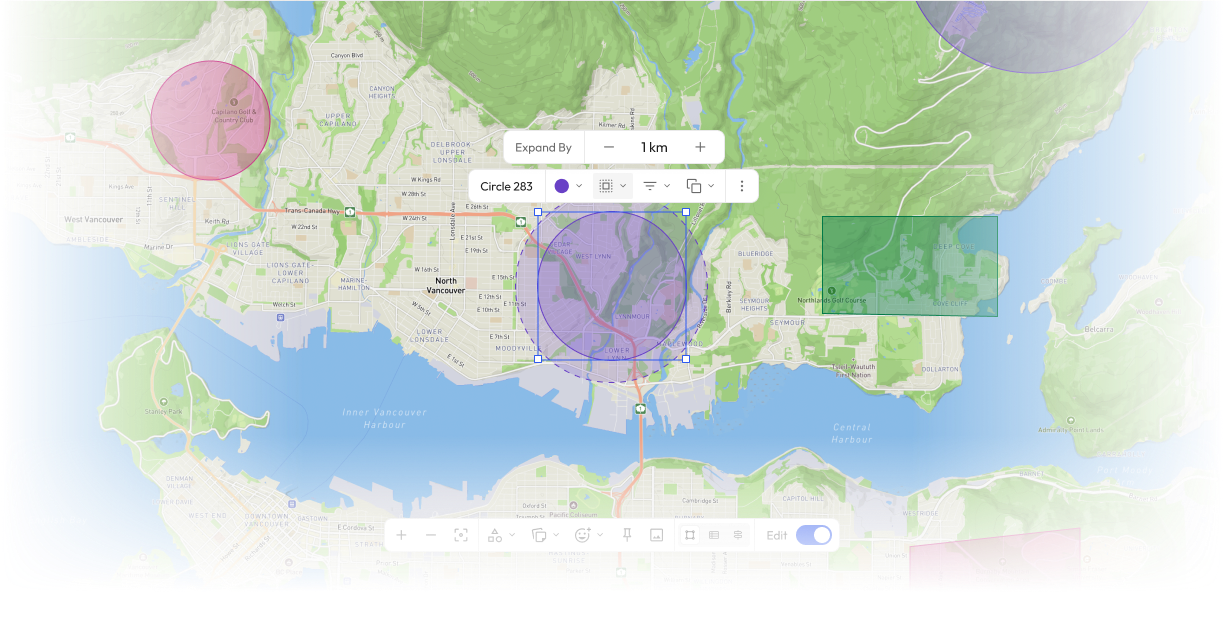
Come into DataScape, draw the boundary your buyer needs, preview the exact coverage on the map, and export the slice. What used to require manual data preparation happens in seconds, visually, before anything ships.
Come into DataScape, draw the boundary your buyer needs, preview the exact coverage, and export. Custom data delivery in seconds, no back and forth, no manual preparation.