
DataLab is where your spatial data library lives. Purchased datasets, your own uploads, and everything you build from both, organized, ready to use, and connected to every BigGeo product your team relies on.

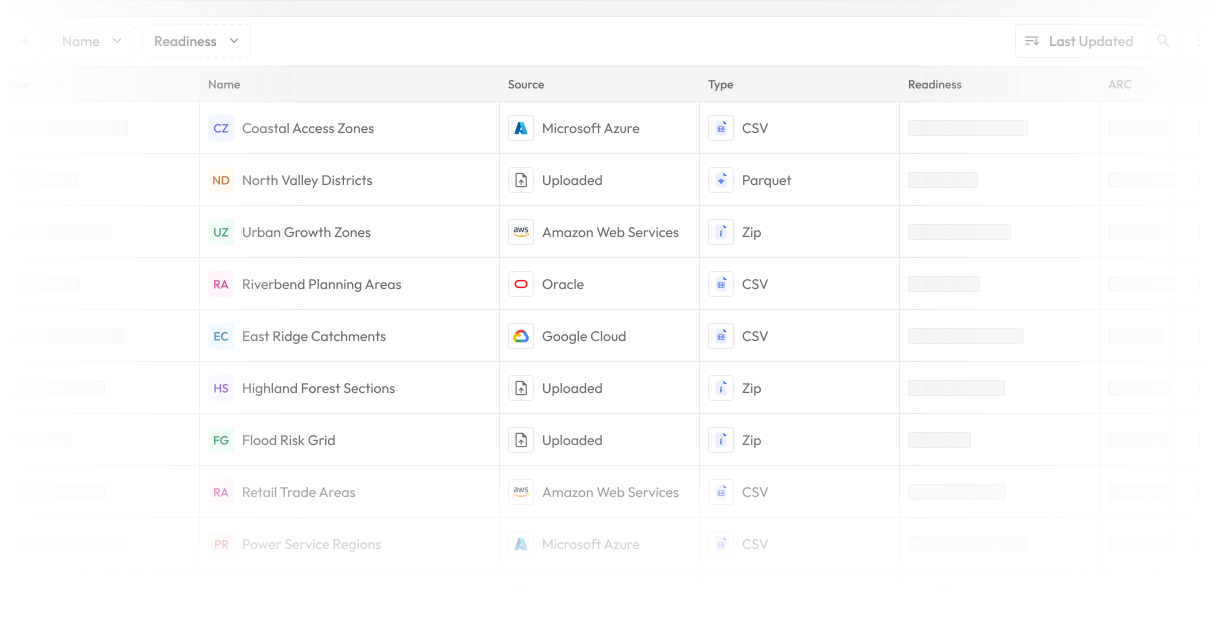
Most organizations own more spatial data than they realise. Purchased datasets, internal uploads, vendor feeds, historical records. The problem is never the data. It is that none of it is connected, none of it is queryable, and none of it is anywhere near the decisions it should be informing.
DataLab changes that!
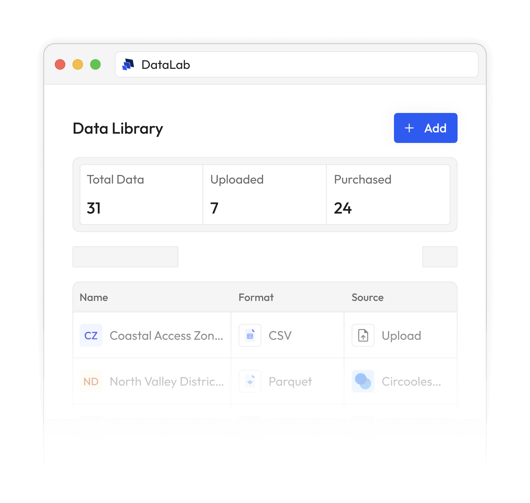
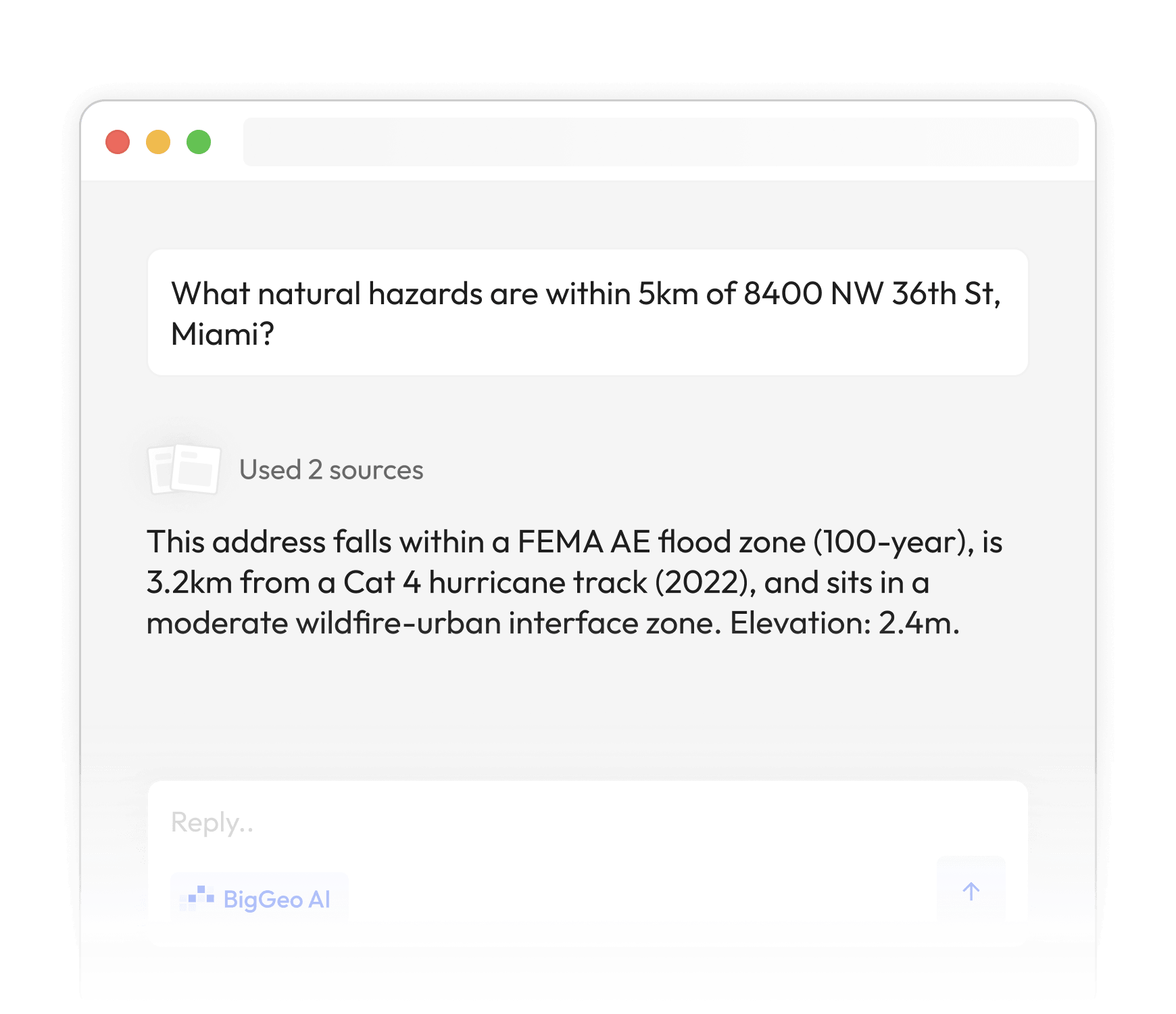
Your own files, uploaded to DataLab, become queryable through BigGeo AI. Ask questions across your data and the world's spatial datasets at the same time. Your internal data combined with licensed, governed spatial data, answered in plain language, in seconds.
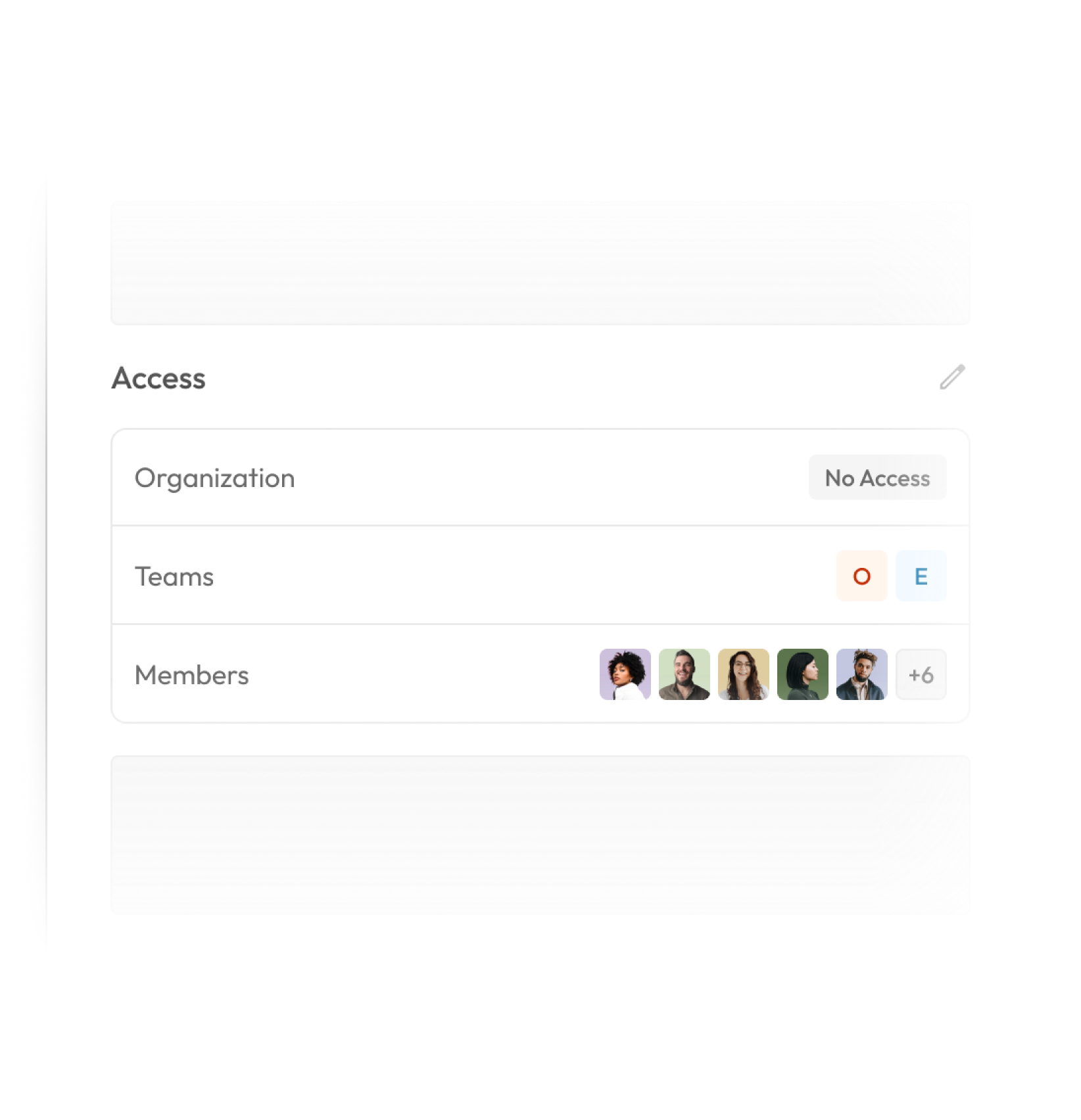
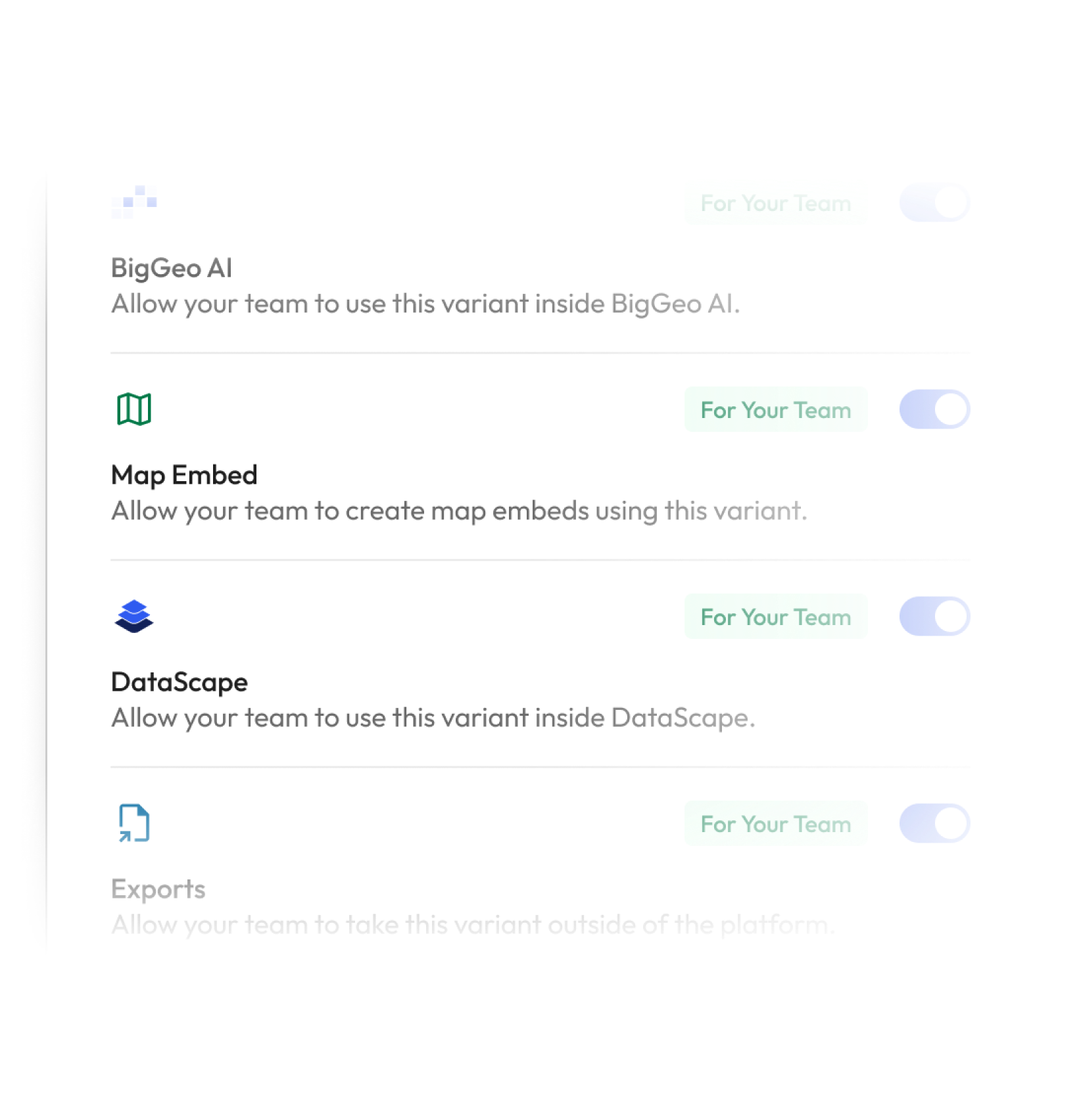
Build one dataset and author as many Variants as your organisation needs. Analysts get full access. Executives get a summary. Partners get the region they are licensed for. Each Variant carries its own permissions, geographic slice, and access rules, all managed from one workspace.

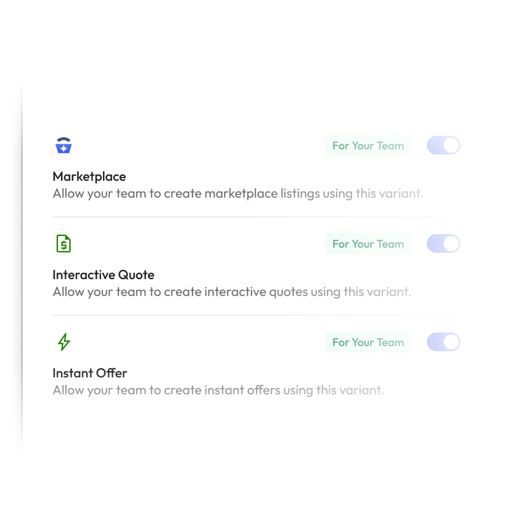
Publish to the Marketplace, slice your data by geography, and sell exactly what each buyer needs, not the whole dataset. Create Variants with their own pricing, licensing terms, and access rules, then manage your buyer pipeline, quotes, and instant offers from the same workspace. Enable BigGeo AI access and earn on every query it powers. Your entire data business, run from one place.