This is some text inside of a div block.
arrow_back
Partner Network
arrow_forward

Where the world's best spatial data providers come together

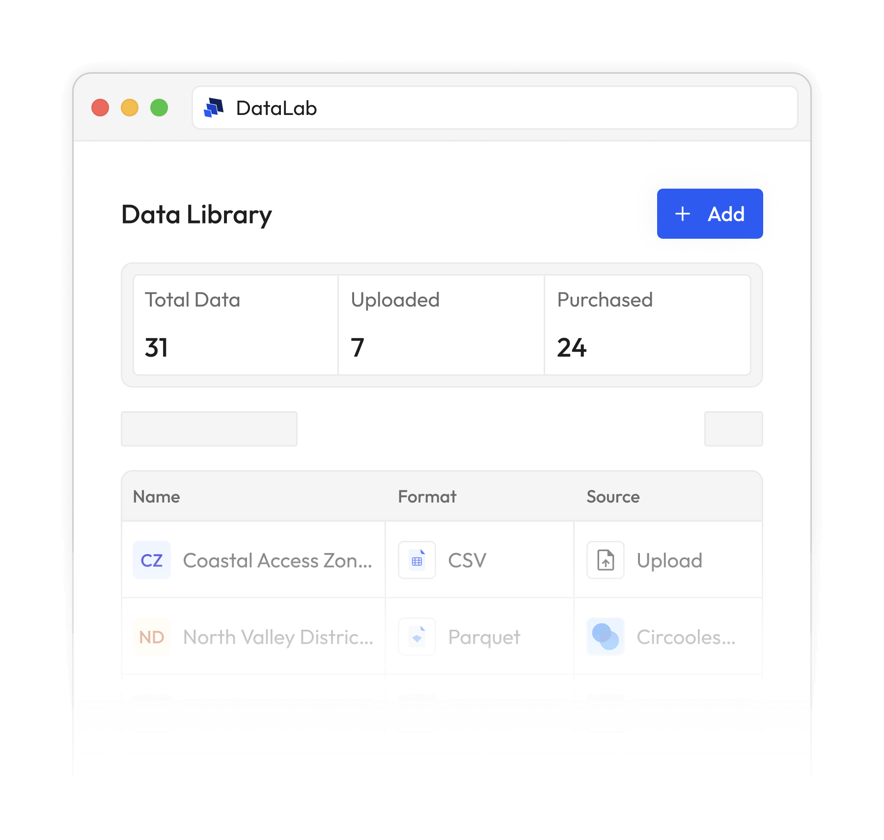
The BigGeo Partner Network connects the world's best spatial data providers with the buyers who need them. Browse the network. Or become part of it.

One dataset is useful.
A network of them is powerful.

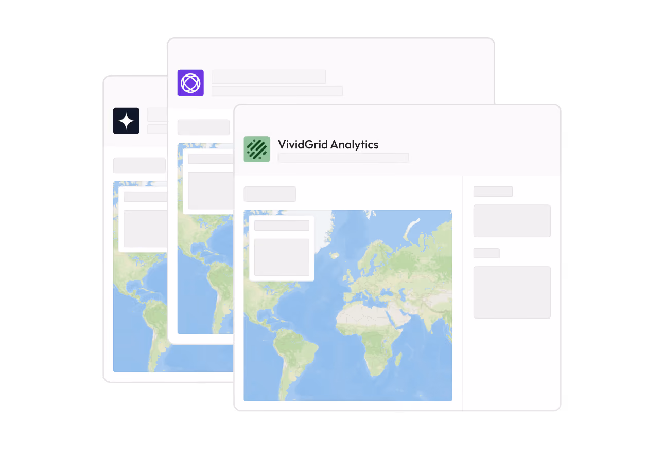
The BigGeo Partner Network is not a listing directory. It is a curated community of the world's best spatial data providers, building a governed, trusted layer of spatial intelligence together. Your data reaches buyers across every BigGeo surface, combines with datasets it has never touched, and powers answers that no single dataset could give alone.

Together, the data tells a bigger story.

Become a Partner
arrow_forward
Featured Partners

Our Platinum Partners

Featured Partners

Gold Partners

arrow_outward
Aeroview Technologies
A full-service GIS-enabled data provider specializing in the Canadian market. Offers precisely mapped postal boundaries, school points of interest, and tourism POI with rich geographic context.
arrow_outward
Alessco Data
US consumer and marketing data platform spanning across demographics, real estate, B2B, financial, healthcare, risk, and political segments. One of the most versatile consumer data offerings.
arrow_outward
Cell Dwell
Carrier-attributed Wi-Fi session data with venue-level location intelligence across two specialized datasets. Supports foot-traffic analytics, capacity planning, and access-point telemetry analysis.
arrow_outward
Connected2GIS
Core geospatial layers for the United States including parcel, POI, address, and building footprint data. Purpose-built for location intelligence workflows and site analysis applications.
arrow_outward
Driver Technologies
Automotive software and cloud technology built for connected vehicle ecosystems. Captures driving behaviour event data across four countries for mobility intelligence and fleet analytics.
arrow_outward
The Data Appeal Company
AI-enabled POI data covering 10 major global cities across North America, Europe, Asia, and MENA. Designed for brands and analysts needing location intelligence in key urban markets.
arrow_outward
ERAD Group
Device-level MAID movement records with geocoordinates, carrier signals, and visit context attributes. Powers site selection, visitation frequency studies, and competitive benchmarking.
arrow_outward
GapMaps
Retail POI and high-resolution demographic data focused on the Asia-Pacific and MENA regions. Ideal for organizations targeting growth markets outside North America and Europe.
arrow_outward
Geolocet
Geospatial and demographic data with exceptional coverage across 46 European countries. A go-to source for organizations expanding into or operating across the European market.
arrow_outward
Gulp Data
Specialized mobility and sensing data covering intersection events, Wi-Fi and Bluetooth presence, and border crossing activity. A curated reseller of hard-to-source urban movement intelligence.
arrow_outward
InfobelPro
A global POI database with approximately 200 million points of interest spanning 200+ countries. Per-record pricing with tiered volume options makes it accessible at any scale.
arrow_outward
ISTARI AI
A comprehensive Canadian business dataset with quarterly updates and deep geographic hierarchy. Organized across province, municipality, and postal code levels for precise market analysis.
arrow_outward
OneSoil
AI-powered crop field boundary data for the United States covering the 2024 and 2025 growing seasons. Enables precision agriculture analytics, yield modeling, and agricultural land intelligence.
arrow_outward
ProPlus Data
Global B2B firmographics with verified company profiles, in-market account signals, technographic data, and direct contacts. Includes access to the Nexora trial platform for pipeline acceleration and prospect discovery.
arrow_outward
Teragence
Mobile network geo analytics built on crowdsourced cellular coverage and network performance data. Delivers location and time-specific resolution for telecom, real estate, and mobility intelligence buyers.
arrow_outward
WeatherDataAI
AI-powered climate and environmental data across five specialized product lines. Delivers actionable insights for agriculture, energy grids, infrastructure risk, and climate exposure analysis.
Featured Partners

Our Select Partners

For Data Providers

The complete toolkit for data providers.

done
Marketplace listings
arrow_forward
done
Sell by the slice
arrow_forward
done
Interactive Quotes
arrow_forward
done
Instant Offers
arrow_forward
done
BigGeo AI Monetization
arrow_forward