This is some text inside of a div block.
graph_3
Data Science
arrow_forward

Spatial features for every model. No pipeline required.

Every model your team builds has a geography attached to it. BigGeo gives you the spatial features to make it smarter, without building the infrastructure to get them.

Your models are missing the most important variable. Where.

Data science teams know location matters. They also know what it takes to get spatial features into a model, building ingestion pipelines, reconciling coordinate systems, maintaining update cycles, and standing up GIS infrastructure most teams don't have. So the location variable gets approximated, skipped, or handed off to a specialist who takes three weeks to deliver what you needed yesterday.

What if spatial features were just...there?

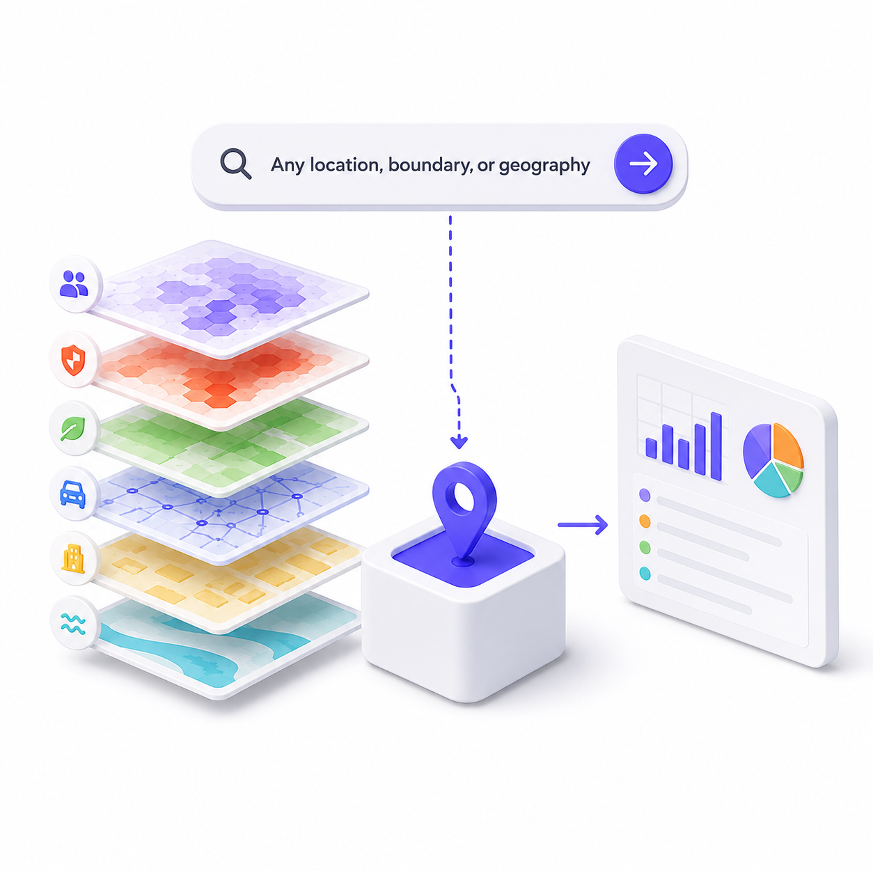
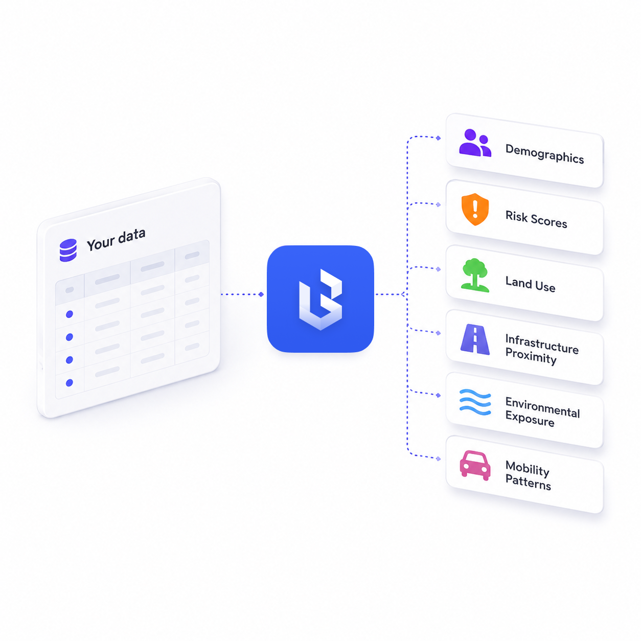
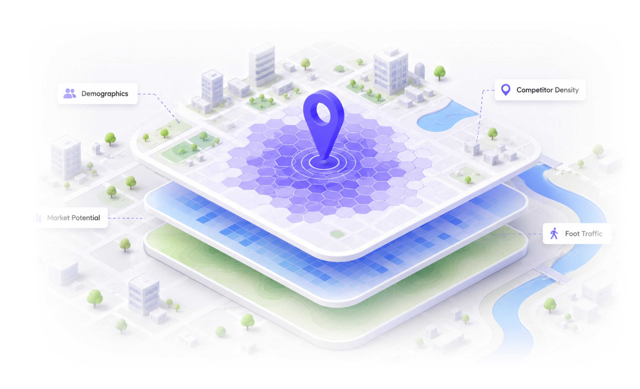
Query any location, boundary, or geography and get back the spatial features your model needs, demographics, risk scores, land use, infrastructure proximity, environmental exposure, mobility patterns — in seconds. Bring your own data, use ours, or both. No pipeline. No GIS specialist. No waiting.

Real decisions. Real results.

storefront
Predictive model enrichment
A data science team building a churn prediction model wants to enrich every customer record with spatial features, proximity to competitors, neighborhood demographics, local economic indicators, and infrastructure access. BigGeo returns the full spatial feature set for any address list in a single query. No pipeline. No GIS contractor. The enrichment that used to take a quarter takes an afternoon.
family_home
Risk and exposure modeling
An actuarial team building a property risk model needs flood zone classification, wildfire interface scores, crime indices, and environmental hazard proximity for every address in a portfolio. BigGeo returns the full feature set across hundreds of thousands of addresses at once, clean, current, and ready to feed directly into the model.
activity_zone
Location-based ML feature generation
A machine learning team training a demand forecasting model needs hyper-local spatial features, foot traffic density, points of interest proximity, transit access scores, and competitor presence, at the zip code or custom polygon level. BigGeo generates the full feature set for any geography on demand. No ingestion pipeline. No data engineering sprint. Just the features, ready to use.
FAQ

Common questions from data science teams

What kind of data science data can I buy on BigGeo Marketplace?
add
Do I need GIS expertise to integrate BigGeo into our data pipeline?
add
Can I use my own datasets alongside BigGeo data?
add
Do I have to license a full national dataset or can I just get the features I need?
add
Can I access BigGeo through ChatGPT or Claude for exploratory analysis?
add

Stop approximating where. Start knowing.

Bring a model or dataset you're actually working on. We'll show you what spatial features BigGeo can add to it.

Book a Meeting
arrow_forward