BigGeo brings together parcel boundaries, zoning, demographics, risk scoring, and market comps in one place. Ask about any address in North America and get the full picture, grounded in governed data. Any market. Any dataset. Any insight. Delivered in seconds.

Energy teams are making infrastructure decisions by manually pulling environmental permits from federal databases, land ownership from county records, pipeline corridors from GIS files that haven't been updated since last quarter, and compliance data from three different vendors. By the time it's all assembled, the window has shifted, or the decision gets made with incomplete information.


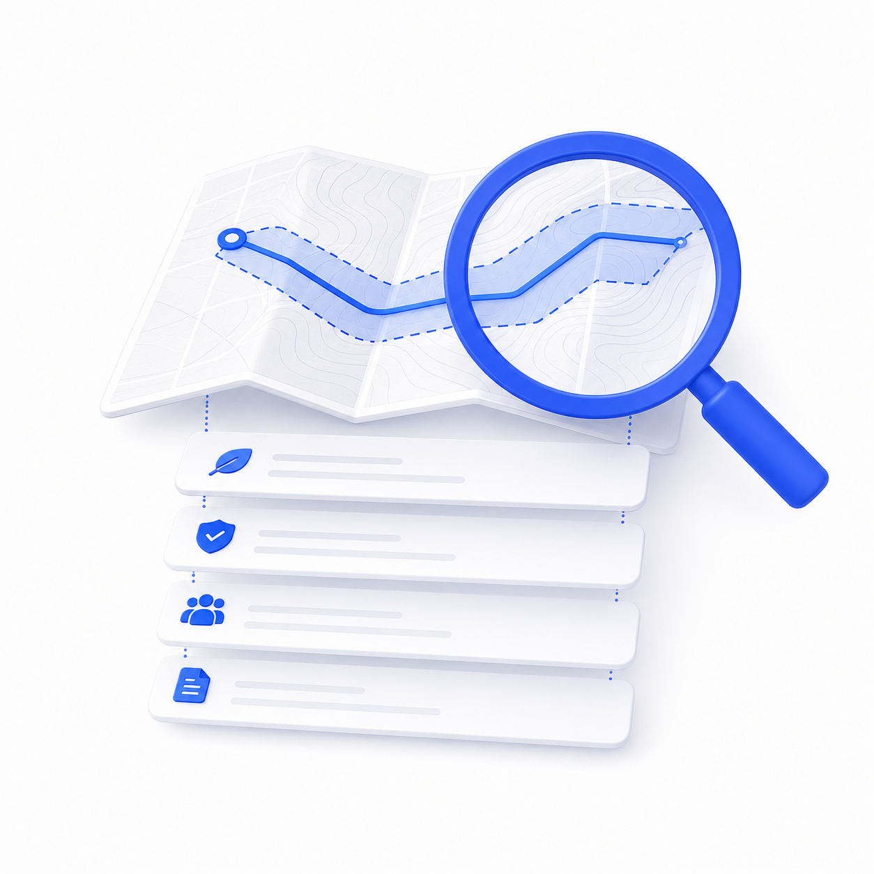
Type an address, corridor, or custom boundary. Get back land ownership, environmental exposure, pipeline proximity, zoning, permit history, and infrastructure data in seconds. Bring your own asset data, use ours, or both. No GIS specialist. No manual agency pulls. No waiting.
The Marketplace carries spatial data across every major category energy professionals rely on, land ownership, pipeline corridors, environmental sensitivity zones, permit records, infrastructure proximity, terrain, zoning, and regulatory boundaries. New datasets are added regularly by providers across North America and beyond. Browse the Marketplace to see what's available for your markets today.
No. BigGeo is built for the teams making infrastructure and compliance decisions — not GIS specialists. Ask questions in plain language through BigGeo AI, visualize site assessments in DataScape, or manage your asset data in DataLab. No GIS background required for any of it.
Yes. Bring your own pipeline routes, asset locations, or project boundaries into BigGeo and combine them with any dataset in the Marketplace. Query it all together, visualize it all together, without any engineering or integration work.
You only pay for the geography you actually need. Instead of licensing a national land or environmental dataset, you buy the corridor, the project boundary, or the region that fits the decision. The cost matches the scale of what you're asking about, not the scale of the full dataset.
Yes. BigGeo AI connects to ChatGPT through MCP. Ask an infrastructure or compliance question about any location in plain language — it draws from platform datasets, your own data, and any Marketplace purchases, and returns a governed answer in seconds. The AI you already use, now with real spatial intelligence underneath. Claude coming soon.
Bring a corridor or site you're actually evaluating. We'll show you what BigGeo knows about it.
