
Ask any location question. Get a real answer. That is it.
Bottom Shapefiles on BigGeo puts 651,487 exploration program records on a live spatial grid, organized by basin, play, and operator so your BD team can see exactly where activity is accelerating. Stop reacting to published bids and start calling operators who are about to need you.
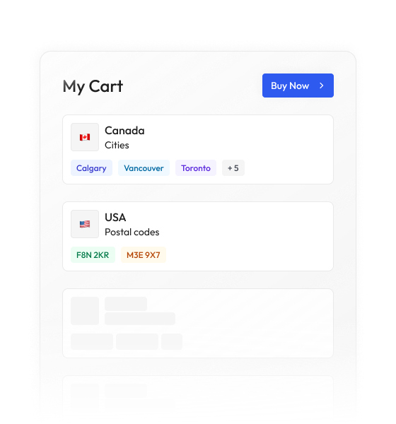
Most data vendors sell you a national license to millions of records you will never contact. BigGeo works differently.You tell us where you sell, and we cut you exactly that geographic slice of the dataset. A single city.
A cluster of ZIP codes. A metro area. A county. Whatever matches your territory. The result is a lean, CRM-ready file containing only the companies in the markets you actually work, delivered at a fraction of the cost of a full national license.
Geophysical surveying firms live and die by pipeline timing. The companies that win work are not the ones with the best crews, they are the ones who knew a program was coming six months before the RFP dropped. Right now, that intelligence is scattered across permit portals, regulatory filings, lease auction records, and industry press, and your competitors are piecing it together the same slow way you are.
Every record is tagged to a specific basin and play, so you can filter your pipeline to the geologies your crews are equipped to work and rank opportunities by geographic fit.
Exploration activity is tied to the operator running the program, giving your BD team named targets rather than anonymous acreage blocks to chase.
See permit filings and lease acquisitions as actual geometries on the grid so you can measure program scale, adjacent activity, and likely seismic scope before the first call is made.
Seismic programs announced before formal procurement are captured and mapped, giving you the earliest possible signal to get a crew positioned and a conversation started.
BigGeo AI works inside ChatGPT and Claude today, giving your team a plain-language interface to the full Bottom Shapefiles dataset without pulling a single shapefile manually. Ask which operators are running active programs in a target basin, which plays show accelerating permit density, or which announced seismic campaigns are within your crew's mobilization range, and get a governed, data-grounded answer in seconds rather than a morning spent on regulatory portals.