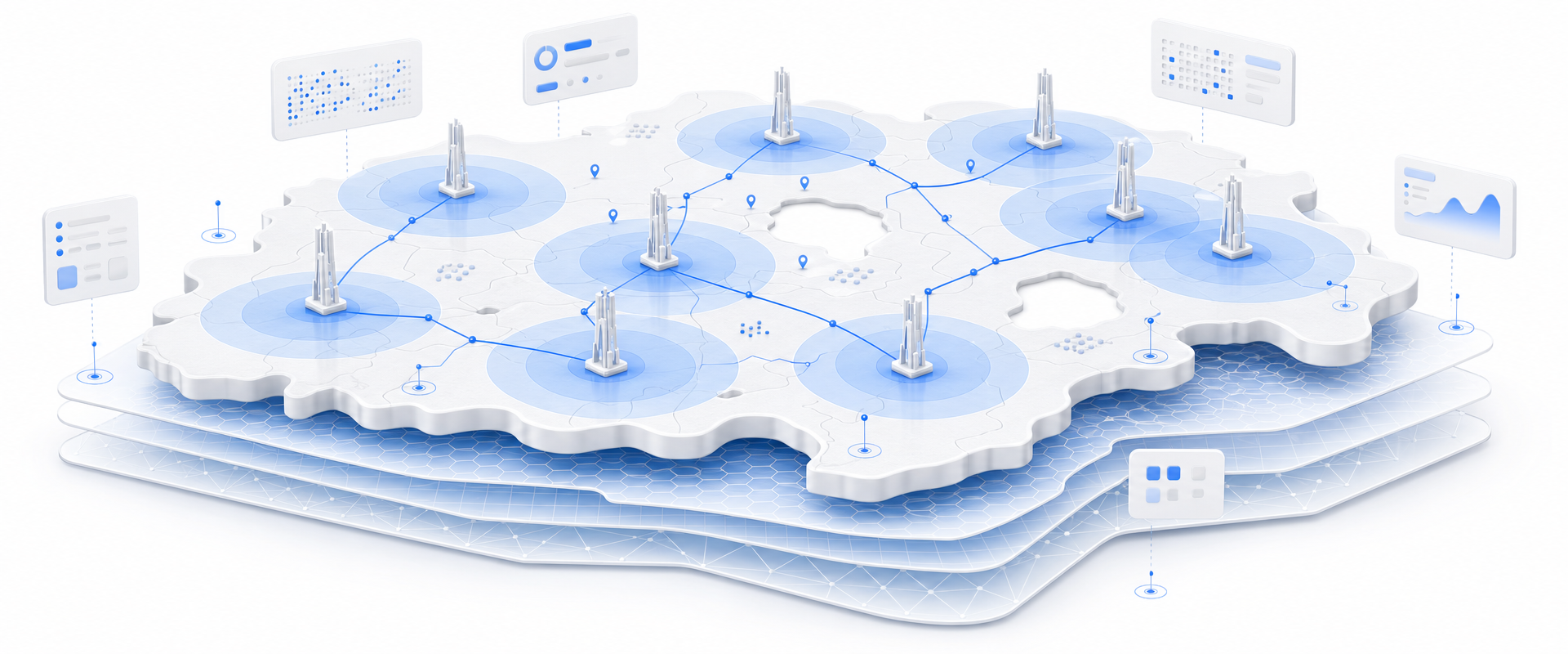
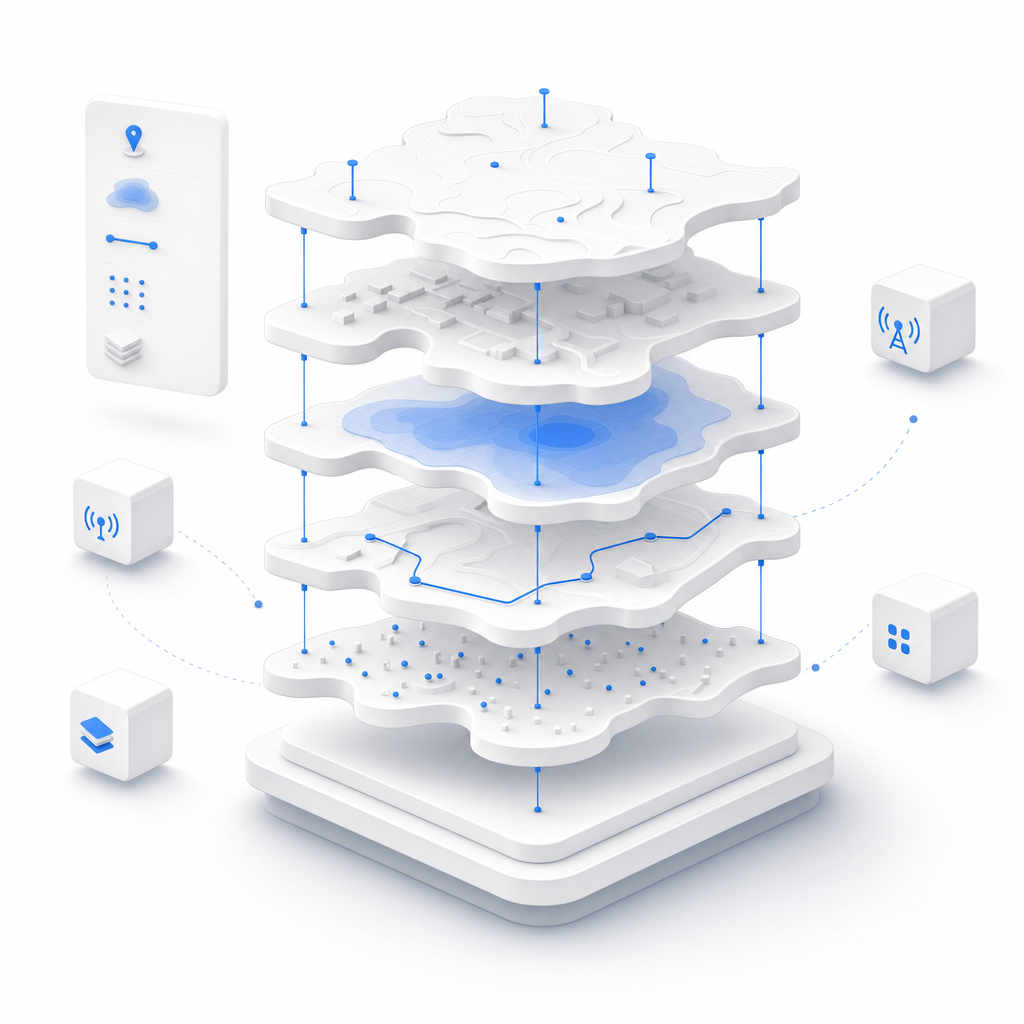
BigGeo's Cell Towers dataset delivers tower coordinates, carrier identifiers, radio technologies, and estimated coverage ranges for 100,000 sites, ready for immediate spatial analysis. For the first time, your team can identify underserved coverage areas, prioritize deployment targets, and validate site acquisition decisions without a single field survey.
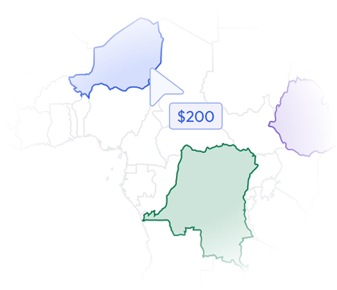
Most data vendors sell you a national license to millions of records you will never contact. BigGeo works differently.You tell us where you sell, and we cut you exactly that geographic slice of the dataset. A single city.
A cluster of ZIP codes. A metro area. A county. Whatever matches your territory. The result is a lean, CRM-ready file containing only the companies in the markets you actually work, delivered at a fraction of the cost of a full national license.
Wireless infrastructure teams are making six-figure deployment decisions on data that is incomplete, outdated, or locked inside formats no one can query at speed. Field surveys eat weeks of budget. Coverage models built on bad tower data produce bad tower placement. And every week a dead zone stays unaddressed is a week a competitor or a federal broadband program fills it instead.
Every record includes geospatially indexed tower locations, so your team can instantly map existing infrastructure, calculate inter-site distances, and identify placement candidates without converting or cleaning raw coordinates.
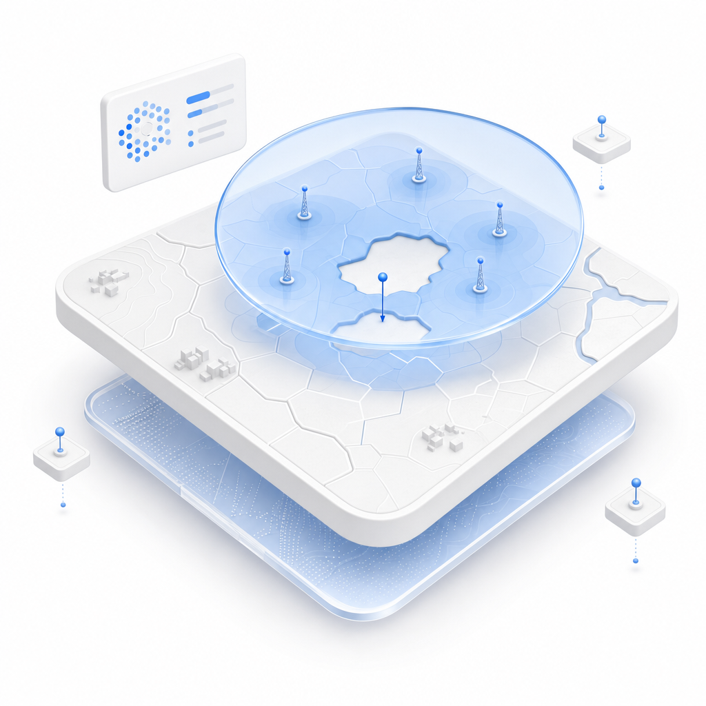
Carrier identifiers attached to each tower let you analyze competitive coverage density by operator, identify underserved corridors no single carrier has claimed, and build a defensible rationale for new market entry or expansion.
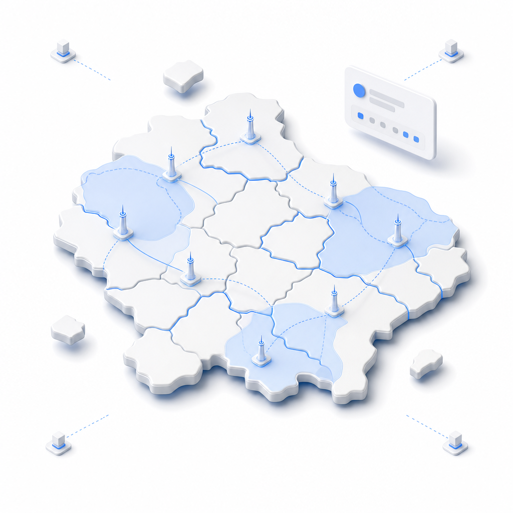
Knowing whether a site runs LTE, 5G NR, CBRS, or legacy technologies tells your engineering team what gaps to fill, not just where. Technology-aware gap analysis changes how you prioritize small-cell versus macro tower deployment.
Coverage range estimates per tower let you model actual signal footprints, overlay them against population or address density, and surface the specific geographies where investment will have the highest coverage yield per dollar spent.

BigGeo AI is live in ChatGPT today and shipping in Claude, giving your engineers and GIS analysts direct access to the Cell Towers dataset through plain language queries, no GIS software required, no data pull, no waiting on a specialist. A site acquisition manager can ask which counties in a target state have fewer than three LTE towers per 100 square miles and get a governed, data-grounded answer in seconds. The underlying tower data never leaves the governed compute path regardless of how the query is routed.