
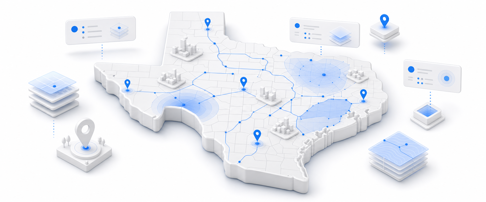
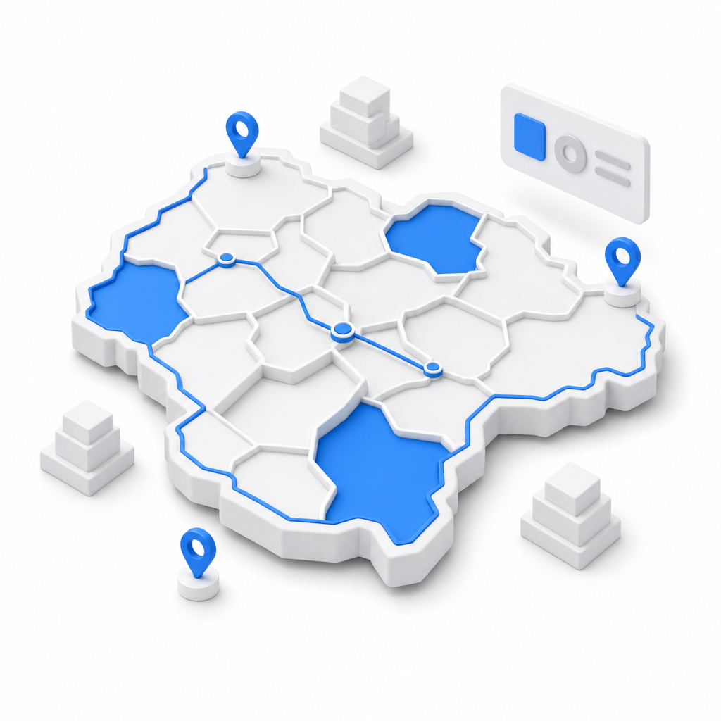
The Texas Parcel & Land-Use dataset gives CRE developers parcel-level ownership, zoning, valuation, and spatial data across every Texas metro in one unified record. Filter investor-owned vs. owner-occupied parcels, rank undervalued sites by land-to-improvement ratio, and source off-market deals without waiting on a broker or a GIS analyst.
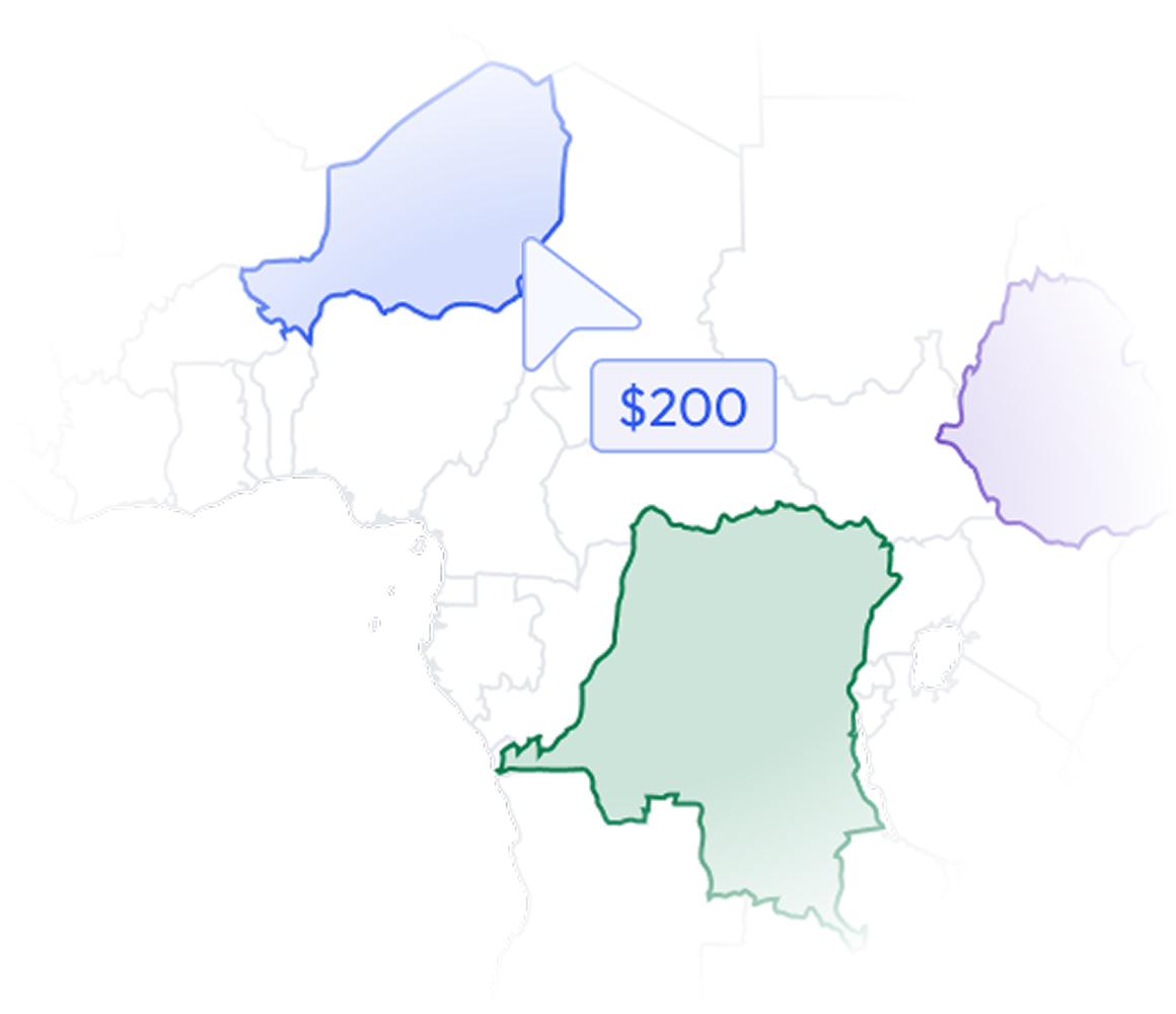
Most data vendors sell you a national license to millions of records you will never contact. BigGeo works differently.You tell us where you sell, and we cut you exactly that geographic slice of the dataset. A single city.
A cluster of ZIP codes. A metro area. A county. Whatever matches your territory. The result is a lean, CRM-ready file containing only the companies in the markets you actually work, delivered at a fraction of the cost of a full national license.
Finding developable land in Texas metros is not a market problem. It is a data problem. The information exists at the county appraisal district level, but it is fragmented across dozens of jurisdictions, formatted inconsistently, and impossible to query at scale. By the time your team manually assembles a shortlist, the best sites are already under contract.
Every parcel record includes ownership name, mailing address, and address validation indicators. Filter investor-owned vs. owner-occupied in seconds to target the sellers most likely to transact.

Parcel-level zoning and land-use codes let you confirm entitlement potential before you spend a minute on outreach. Screen out non-starters at the query level, not at the due diligence stage.
Valuation fields let you calculate land-to-improvement ratios at scale across entire submarkets. Surface undervalued sites where the land is worth more than the structure sitting on it.

Lat/long coordinates, parcel measurements, and flood risk designations let you run proximity and site suitability analysis without a separate GIS layer. Risk is baked into the record.

BigGeo AI works inside ChatGPT and Claude, connecting your plain-language questions directly to governed parcel-level data across Texas. Questions that used to require a GIS analyst, a county records pull, and a spreadsheet now get answered in seconds. Ask about ownership patterns, zoning eligibility, or undervalued land concentrations across any submarket without writing a single line of code.