
The US 2020 Demographic Data Base at the block group level gives grocery and convenience retailers the granular population, income, and household intelligence needed to predict trade area performance before a single dollar is committed. Instead of learning a site was wrong at year two, you know before you open.

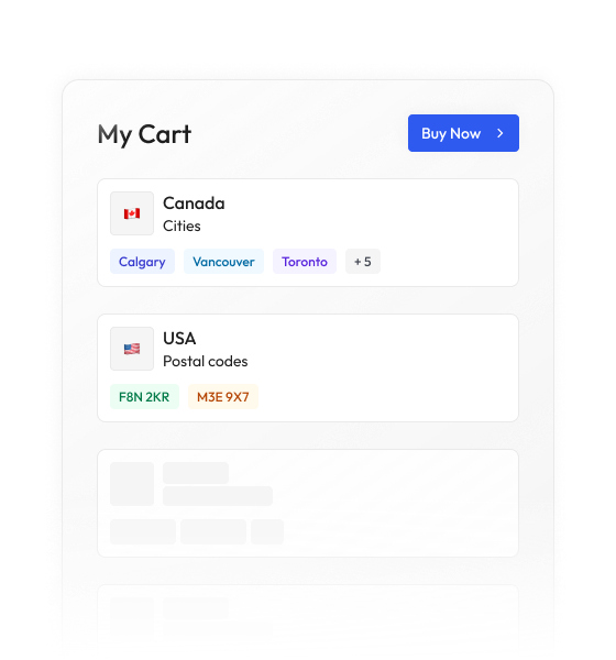
Most data vendors sell you a national license to millions of records you will never contact. BigGeo works differently.You tell us where you sell, and we cut you exactly that geographic slice of the dataset. A single city.
A cluster of ZIP codes. A metro area. A county. Whatever matches your territory. The result is a lean, CRM-ready file containing only the companies in the markets you actually work, delivered at a fraction of the cost of a full national license.
Grocery and convenience retailers are making million-dollar site commitments based on incomplete, fragmented, or outdated market intelligence. The real estate team has one view. The data team has another. And nobody has a single spatial environment where all the variables live together. By the time a bad site reveals itself, the lease is already signed.
Understand exactly how many people live within a candidate site's realistic reach, down to the neighborhood block group. Stop relying on ZIP code averages that smooth over the pockets of density your store actually depends on.
Validate whether a site's surrounding households align with your target customer's spending profile. Flag sites where income skew will suppress basket size before you commit to a format and assortment strategy.
Identify whether a trade area skews toward families, singles, or retirees, and whether that matches the store format you are planning to open. Demographic mismatch is one of the most consistent predictors of poor new store performance.
Every record lives on BigGeo's DGGS grid, which means you can combine demographic data with traffic counts, competitor locations, and workforce data in a single query without any ETL prep work. The comparison you used to wait two weeks for runs in seconds.
BigGeo AI works directly inside ChatGPT and Claude, connecting your plain-language questions to the governed 2020 block group demographic data on the platform. What used to require a GIS analyst, a data pull, and a two-day turnaround, now takes a single typed question. Any member of your site selection team can run demographic trade area analysis without opening a single GIS application.