US Property and Parcel Consumer Dataset

Replace Self-Reported Data With Verified Parcel Facts

The US Property and Parcel Consumer Dataset delivers authoritative building characteristics, structural details, and lot metrics tied to standardized addresses so P&C carriers can pre-fill quote applications with confidence.

At a Glance

The Data Behind the Decision

Nationwide
US Property Coverage
All States
All Jurisdictions Covered
Parcel-Level
Precision and Granularity
Buy by Geography

Stop buying the whole country. Buy just your markets.

Most data vendors sell you a national license to millions of records you will never contact. BigGeo works differently.You tell us where you sell, and we cut you exactly that geographic slice of the dataset. A single city.

A cluster of ZIP codes. A metro area. A county. Whatever matches your territory. The result is a lean, CRM-ready file containing only the companies in the markets you actually work, delivered at a fraction of the cost of a full national license.

Book a Meeting

The Problem

Applicant Data You Cannot Trust

Property insurance underwriting still depends heavily on what applicants tell you about their own homes. Self-reported square footage, construction type, and roof condition are routinely inaccurate, incomplete, or manipulated. Every quote built on unverified inputs is a pricing and risk exposure waiting to surface at claim time.

warning
Inaccurate Self-Reported Inputs
Applicants routinely misremember or misrepresent building age, square footage, and construction features. These errors flow directly into your risk models and pricing decisions.
track_changes
Slow Manual Verification Workflows
Manually cross-referencing property details against county records and third-party sources adds time and cost to every quote. It also introduces inconsistency across underwriters and markets.
domain
Incomplete Structural Characteristics
Roof type, exterior materials, and construction class are critical pricing inputs that applicants often cannot accurately provide. Missing or wrong values leave underwriters guessing on high-impact risk factors.
layers
Fragmented Parcel and Address Data
Property records scattered across jurisdictions are inconsistently formatted and hard to link to a single verified address. Without standardized parcel linkage, pre-fill automation breaks down at scale.
What Is In The Dataset

What the Parcel Dataset Contains

Building and Structural Details

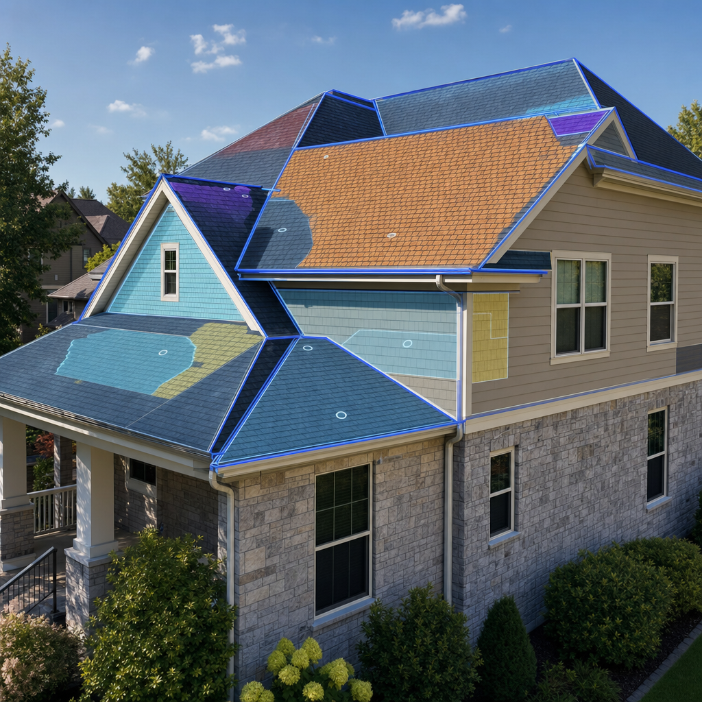
Captures square footage, year built, number of stories, construction type, interior layout, and exterior features at the building level. These fields replace the most error-prone applicant self-reported inputs in property insurance applications.

Structural data overlays a residential building footprint on an architectural drafting desk.
Roof and Exterior Characteristics

Includes roof material, roof shape, and exterior wall construction type that directly influence underwriting risk scores and replacement cost estimates. Reliable structural feature data reduces manual inspection requests on standard submissions.

Blue structural overlays highlight roof planes and exterior walls on a suburban house.
Standardized Address and Parcel Linkage

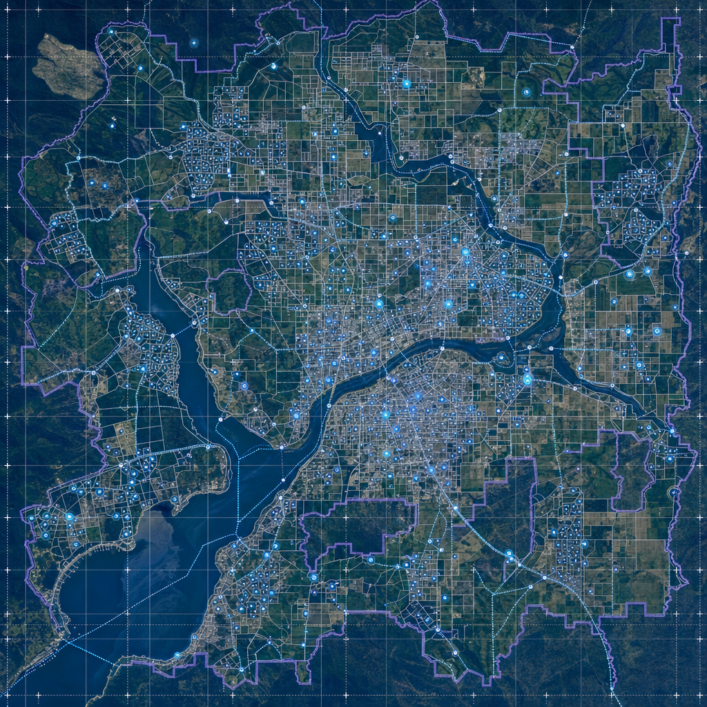
Every record is tied to a standardized address with latitude and longitude coordinates and jurisdictional identifiers for state, county, and municipality. Precise geolocation enables spatial queries and supports pre-fill matching across policy administration systems.

A top-down map shows address points, parcel boundaries, and coordinate grids.
Valuation, Tax, and Ownership Records

Assessed and market value estimates, tax liabilities, mortgage and lien data, and sales history provide a complete financial picture of each parcel. This context supports replacement cost benchmarking, coverage adequacy review, and portfolio risk monitoring.

Let's talk
Thank you! Your submission has been received!
Oops! Something went wrong while submitting the form.
done
The world's spatial data is more accessible than you think. Let's show you how close you already are.
done
You already have the questions. We have the data. Let's see what happens when they meet.
done
The where in your business is more important than you think. Let's find it together.
done
Most spatial data conversations start with a problem nobody thought was solvable. What is yours?
BigGeo AI

chat
chat
chat
FAQ

Frequently asked questions

add
add
add
add
add