
Ask any location question. Get a real answer. That is it.
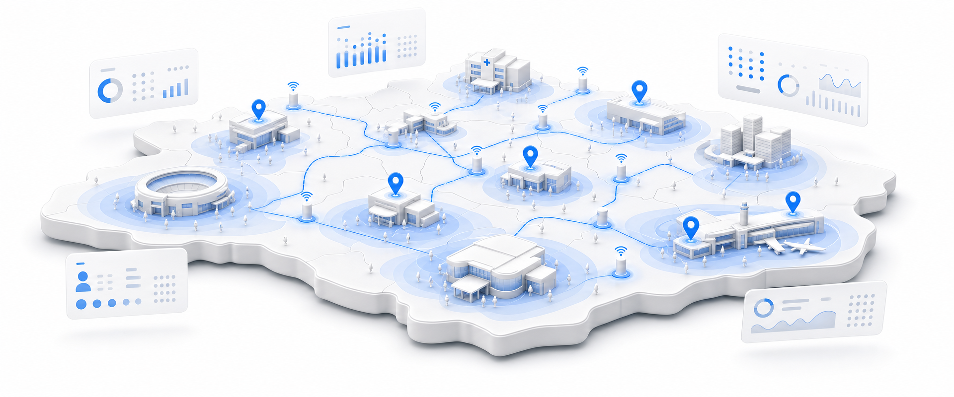
Cell Dwell's Access-Point Client Telemetry delivers deterministic, consent-based visit and dwell records from a national Wi-Fi Passpoint network, with carrier attribution and exact venue geolocation for every session. For the first time, you can nowcast store-level performance, measure campaign lift, and benchmark competitors without touching a single panel-based estimate.
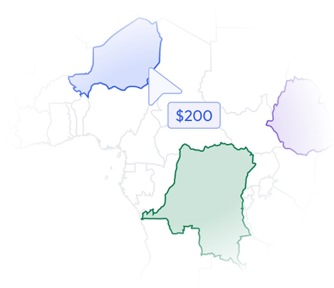
Most data vendors sell you a national license to millions of records you will never contact. BigGeo works differently. You tell us where you sell, and we cut you exactly that geographic slice of the dataset. A single city.
A cluster of ZIP codes. A metro area. A county. Whatever matches your territory. The result is a lean, CRM-ready file containing only the companies in the markets you actually work, delivered at a fraction of the cost of a full national license.
Foot-traffic intelligence has been sold to you as a solved problem. It has not been solved. Most vendors are serving you a statistical model built on opt-in panels, GPS pings, and interpolation. When you make a site-level call, a campaign attribution argument, or a capacity investment on that data, you are betting on someone else's estimate. The business risk is real and it compounds every quarter you let it ride.
Each record contains session start, dwell duration, and carrier attribution from an actual Passpoint authentication event. You can nowcast same-store sales, rank venues by engagement depth, and compare dwell patterns across sites without touching an estimate.
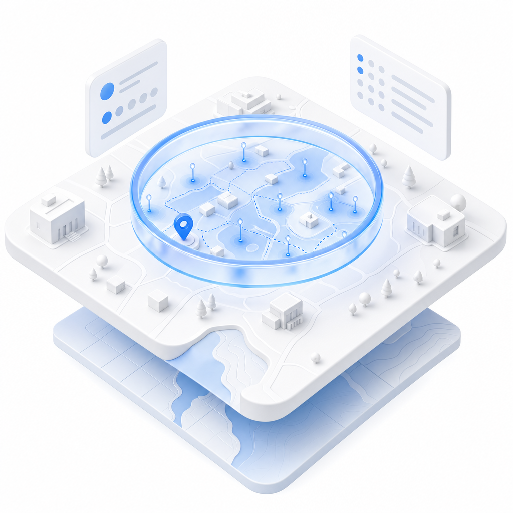
Hashed device identifiers, device make, OS hints, client classification, and carrier attribution give you the customer-type signal that panel data cannot resolve. Segment by device class or carrier footprint to sharpen your audience picture at the venue level.
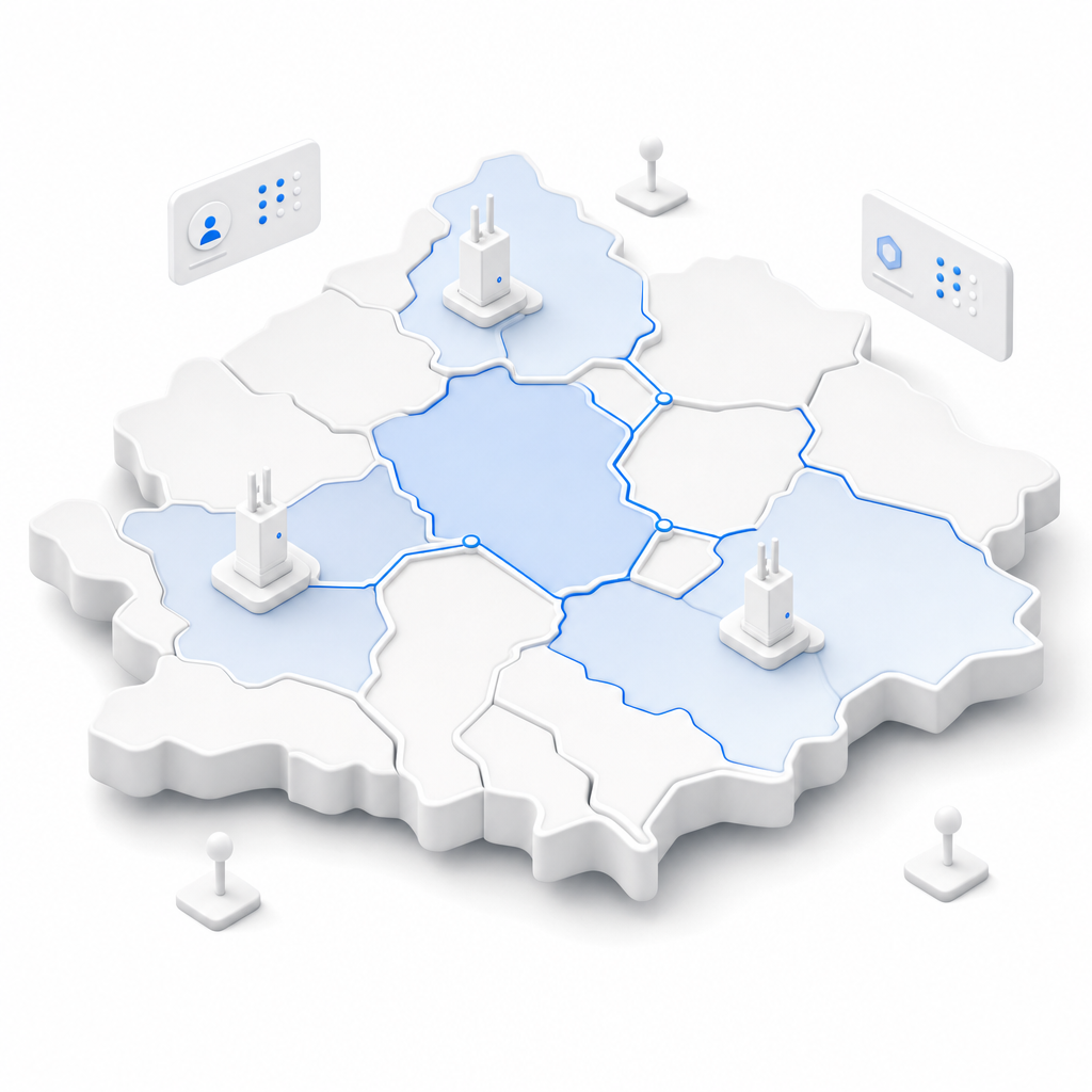
Signal strength, signal-to-noise ratio, radio band, SSID, VLAN context, and transmitted and received byte volumes are included per session. Network operators use these to prioritize capacity investments. Analysts use them to filter low-quality dwell signals from genuine engagement records.
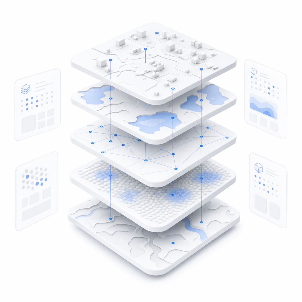
Every access point carries latitude, longitude, and descriptive site metadata, enabling direct spatial joins to your trade area models, real estate portfolios, or campaign geo-targets. No geocoding required, no address matching lag, just coordinates ready for compute.
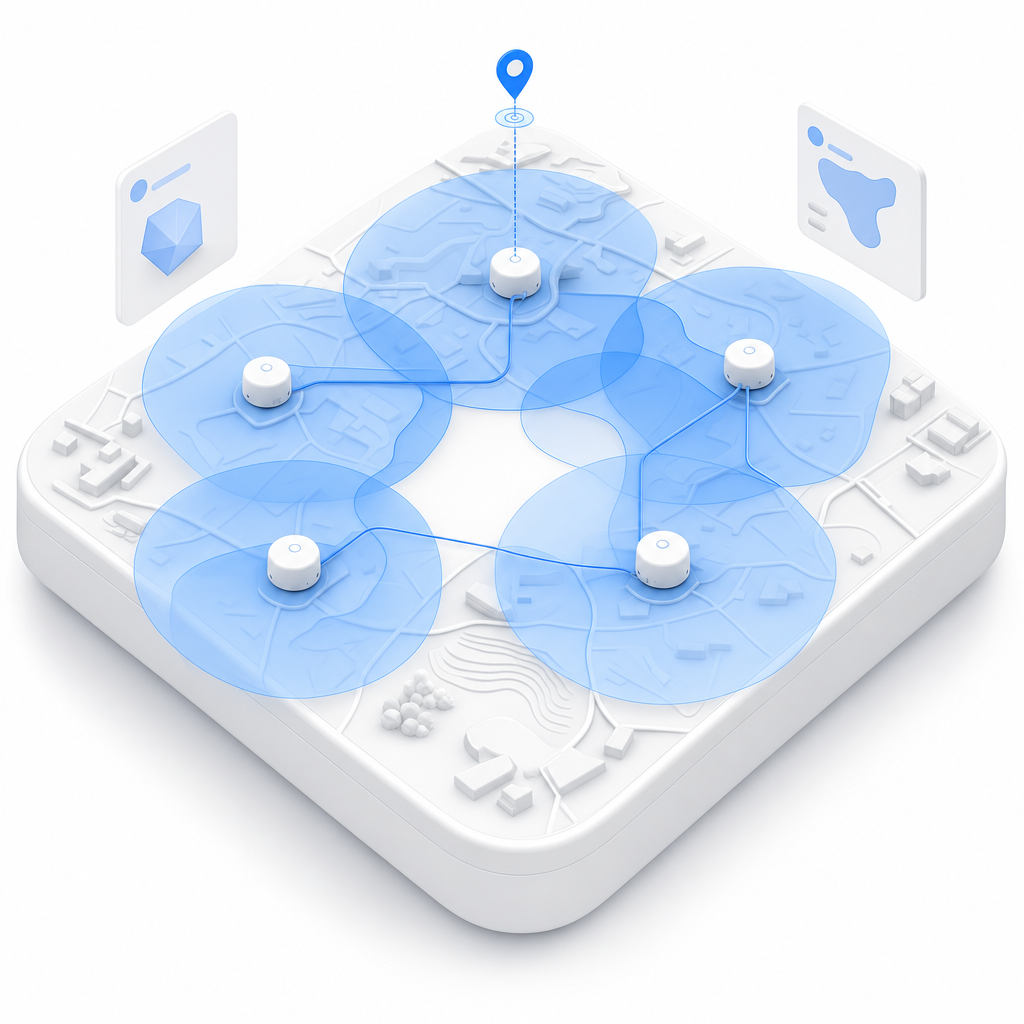
BigGeo AI is live in ChatGPT and Claude today, giving your team direct access to governed, venue-precise telemetry through the tools they already use. Instead of opening a ticket with a GIS analyst to pull dwell distributions by carrier for a specific trade area, you type the question and get the answer grounded in real authenticated session data. The underlying data never leaves the governed compute path, regardless of how it is accessed.