
Ask any location question. Get a real answer. That is it.
Company-Linked Business Contact Data with Location Information pairs person-level contacts with company size, revenue, industry, and geography so your team reaches the right person at the right company in the right territory. Stop building lists from three disconnected sources and start running campaigns the day you access the data.
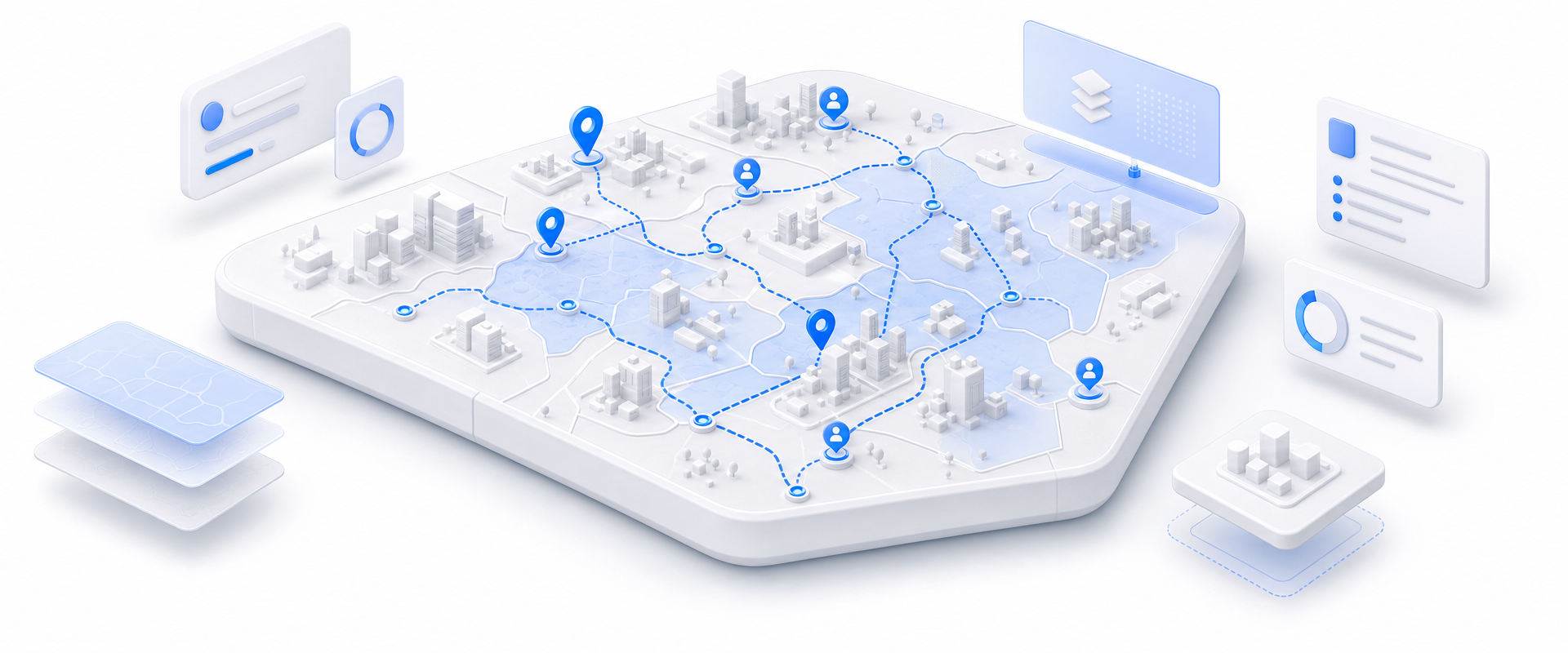
Most data vendors sell you a national license to millions of records you will never contact. BigGeo works differently.You tell us where you sell, and we cut you exactly that geographic slice of the dataset. A single city.
A cluster of ZIP codes. A metro area. A county. Whatever matches your territory. The result is a lean, CRM-ready file containing only the companies in the markets you actually work, delivered at a fraction of the cost of a full national license.
Inside sales teams are stitching together contact lists, firmographic enrichment, and territory maps from tools that were never designed to work together. The result is reps spending hours on research that should take seconds, campaigns that miss geographic boundaries, and pipeline that looks healthy until you realize half the contacts belong in the wrong territory.
Every person-level contact arrives pre-linked to company size, revenue range, and industry so your team can filter, score, and sequence without a separate enrichment step.

Location data tied to each record enables true spatial targeting. Assign contacts to local reps by drawing a territory boundary, not by guessing at zip code ranges.
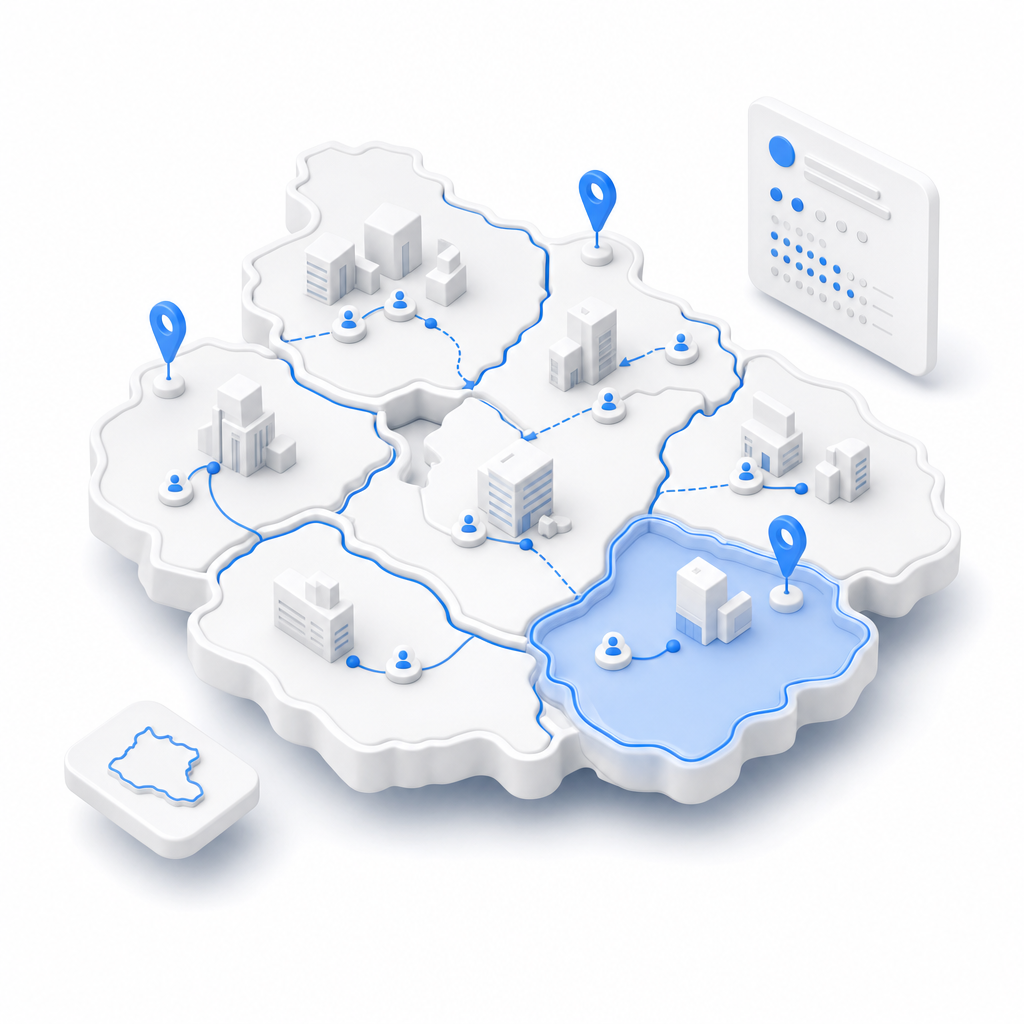
Filter your addressable universe by vertical and company revenue band before a single email goes out. Build sequences calibrated to the actual economic profile of the company, not a generic persona.

Every record carries source-year attribution so you know the vintage of what you are sending into a sequence. No black-box lists. No mystery about when data was last verified.

BigGeo AI is live inside ChatGPT today and shipping in Claude, giving your team direct access to governed contact and firmographic data through the tools they already use. Instead of pulling a list, filtering in a spreadsheet, and handing it to an analyst, a rep or demand gen manager can ask a plain-language question and get a precise, data-grounded answer in seconds, with no GIS software and no specialist required.