
National Property Parcel Dataset with Ownership and Valuations

Find CRE Acquisition Targets Before Your Competition Does

The National Property Parcel Dataset consolidates assessor, deed, mortgage, valuation, and sales history for U.S. parcels into a single spatially indexed record, ready for screening the moment you need it. For the first time, your acquisitions team can scan entire regional markets for off-market targets in the time it used to take to pull one county's records.
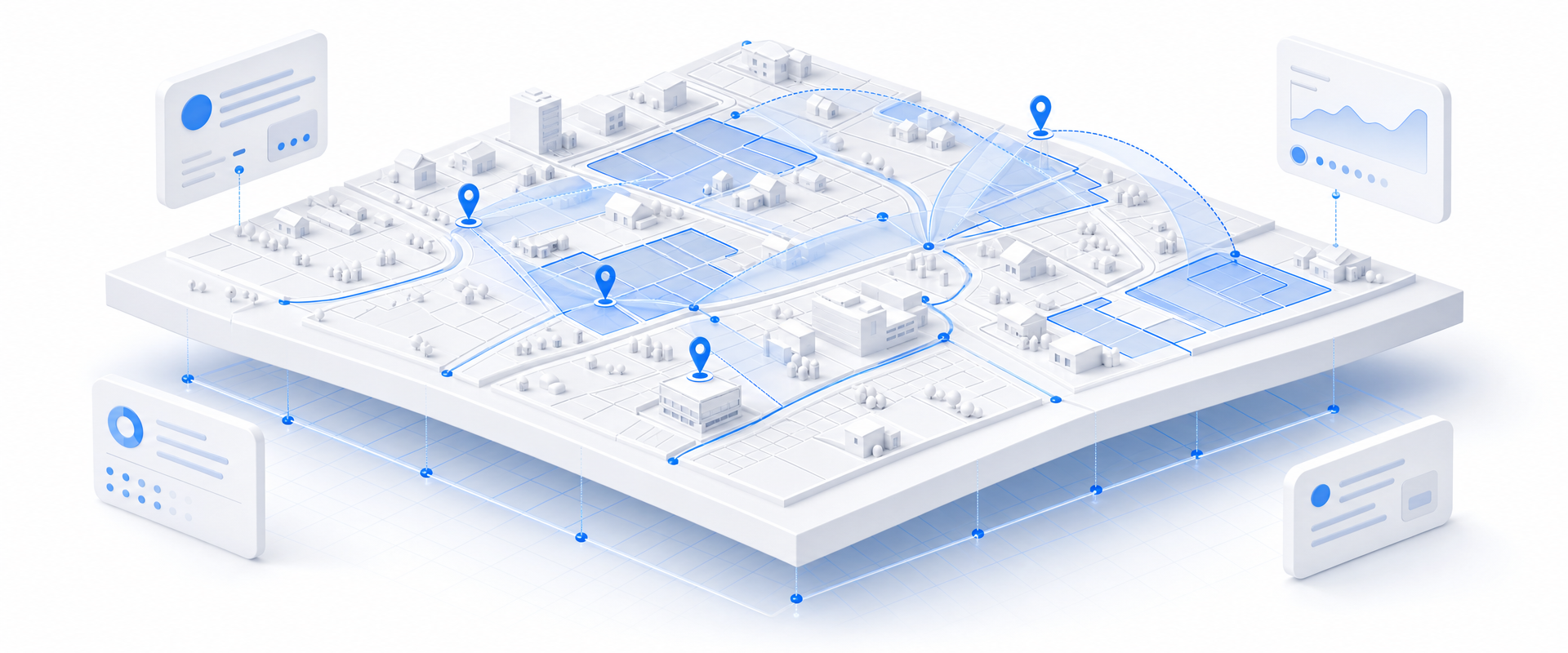
Isometric white 3D parcel platform with blue routes, markers, highlighted property regions, floating data cards, and layered spatial indexing elements representing national property acquisition screening.
At a Glance

The Data Behind the Decision

1 flat file
Replaces dozens of county sources
5+ lien positions
Mortgage records per parcel
AVM + assessed + appraised
Three valuation views per parcel
Buy by Geography

Stop buying the whole country. Buy just your markets.

Most data vendors sell you a national license to millions of records you will never contact. BigGeo works differently.You tell us where you sell, and we cut you exactly that geographic slice of the dataset. A single city.

A cluster of ZIP codes. A metro area. A county. Whatever matches your territory. The result is a lean, CRM-ready file containing only the companies in the markets you actually work, delivered at a fraction of the cost of a full national license.
Book a Meeting

See Your Markets in 30 Minutes

The Problem

Why CRE Due Diligence Takes So Long

Acquisitions teams are not slow because they lack talent. They are slow because the data infrastructure underneath them was never built for speed. Assessor portals, county recorder sites, third-party AVM pulls, and manual deed searches were designed for one-off lookups, not portfolio-scale screening. Every deal that takes three weeks to underwrite is a deal someone else closes first.

layers
Fragmented County-by-County Data
Stitching assessor files from dozens of jurisdictions into a single workable dataset consumes analyst hours that should be spent on deal evaluation. By the time the data is clean, the window has often closed.
map
No Spatial Context at Market Scale
Most property databases return rows, not geographies. Without spatial indexing, you cannot screen by proximity, identify clustering opportunities, or run regional market comparisons without a GIS team and a project timeline.
warning
Ownership and Lien Records Out of Sync
Current ownership, mailing addresses, and mortgage lien positions often live in separate systems updated on different cycles. Acting on stale or mismatched data means outreach that goes nowhere and underwriting that restarts.
query_stats
AVM and Sales History Buried or Missing
When AVM estimates and full transaction histories are not co-located with parcel records, analysts build shadow spreadsheets that drift from ground truth. Valuation confidence drops and deal velocity falls with it.
What Is In The Dataset

Everything Due Diligence Needs, Already Joined

Parcel Identity and Geolocation

Standardized parcel identifiers paired with precise coordinates and jurisdictional boundaries let you instantly map any target asset, confirm its legal footprint, and run proximity or clustering analysis against other holdings without a separate GIS step.

Current and Historical Ownership

Know who owns a property today, where their mail goes, and how long they have held the asset. Long-hold, out-of-area owners are among the most reliable signals for off-market deal receptivity, and this data surfaces them at scale.

Full Sales and Mortgage History

Complete transaction history plus multiple mortgage lien positions give you the capital stack context to assess distress, over-leverage, or motivated-seller conditions before you ever pick up the phone.
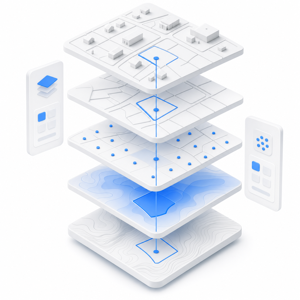
Valuation Trio: Assessed, Market, and AVM

Three valuation perspectives on every parcel let you spot the gap between assessed value and market reality, validate your own underwriting assumptions, and prioritize targets where value dislocation creates opportunity.

Let's talk
Thank you! Your submission has been received!
Oops! Something went wrong while submitting the form.
done
The world's spatial data is more accessible than you think. Let's show you how close you already are.
done
You already have the questions. We have the data. Let's see what happens when they meet.
done
The where in your business is more important than you think. Let's find it together.
done
Most spatial data conversations start with a problem nobody thought was solvable. What is yours?
BigGeo AI

Ask Any Property Question in Plain Language, Get a Governed Answer

BigGeo AI is live in ChatGPT today and shipping in Claude, giving your acquisitions and analytics teams direct access to this dataset through natural language, with no GIS software, no data pull request, and no waiting on a specialist. Ask which submarkets have the highest concentration of long-held industrial parcels with assessed values below AVM estimates, and get a governed, spatially grounded answer in seconds, not a data ticket. The underlying parcel data never leaves the governed compute path regardless of how you access it.

chat
Show me all industrial parcels in the Denver metro held by out-of-state owners for more than 10 years with assessed value below AVM.
chat
Which zip codes in the Carolinas have seen the most commercial sales transactions in the last 18 months with no active mortgage lien?
chat
Find office parcels within half a mile of transit stops in Phoenix where the owner mailing address is outside Arizona.
FAQ

Frequently asked questions

How is this different from pulling data directly from county assessor portals or a third-party AVM provider?
add
We already have a data team building these pipelines in-house. Why would we replace that with this?
add
How current is the ownership and sales transaction data?
add
How do we actually access this data inside our existing analytics environment?
add
What does getting started actually look like? We do not have months to onboard a new data vendor.
add