
Ask any location question. Get a real answer. That is it.
The National Property Parcel Dataset consolidates assessor, deed, mortgage, and AVM data into a single record for every parcel across U.S. jurisdictions — giving your acquisitions team a complete asset picture without the county-by-county data chase. Screen off-market targets, validate valuations, and surface lien risk in the time it used to take to pull one county file.
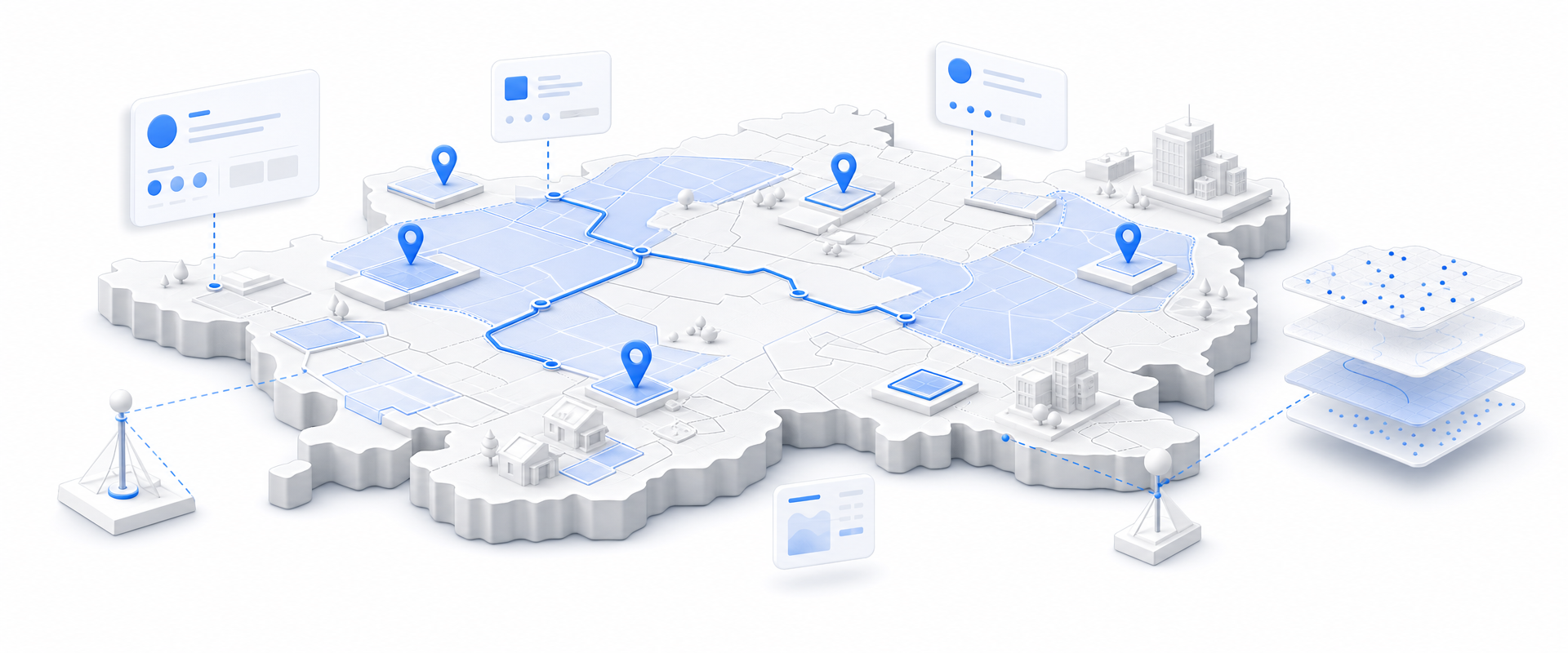
Most data vendors sell you a national license to millions of records you will never contact. BigGeo works differently.You tell us where you sell, and we cut you exactly that geographic slice of the dataset. A single city.
A cluster of ZIP codes. A metro area. A county. Whatever matches your territory. The result is a lean, CRM-ready file containing only the companies in the markets you actually work, delivered at a fraction of the cost of a full national license.
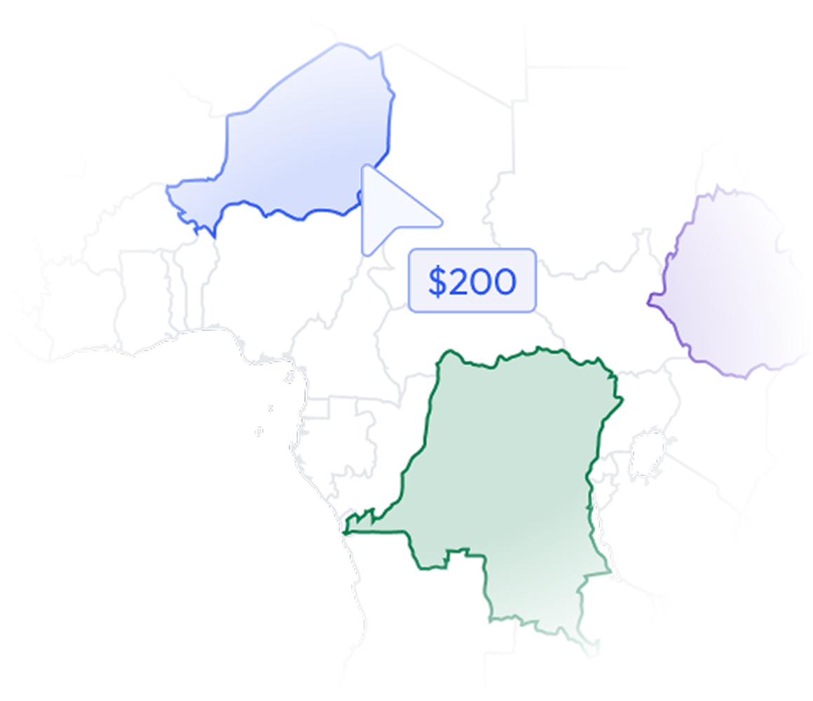
The commercial real estate market moves faster than the data infrastructure most acquisition teams are running on. County portals, fragmented assessor files, and manually assembled comp sets are not a competitive disadvantage — they are a deal-killer. By the time your team has stitched together ownership, valuation, and lien data for a single submarket, the off-market opportunity has already traded.
Current and historical ownership records with mailing addresses let your team identify absentee owners, track entity structures, and build direct outreach lists for off-market targeting — without a skip-trace vendor.

Every recorded sale on a parcel gives your analysts the comp depth to validate pricing assumptions, spot distressed trading patterns, and pressure-test seller expectations before you ever make an offer.
Multiple lien records per parcel, plus tax and exemption details, let you assess encumbrance risk and flag tax-delinquent assets during screening — not during escrow when it costs you time and money to unwind.

Automated valuation model estimates paired with structure attributes — size, year built, construction type, condition, room counts — give your team a first-pass underwriting baseline at portfolio scale, not just asset by asset.

BigGeo AI is live in ChatGPT today and available in Claude, giving your acquisitions team direct plain-language access to this parcel dataset without a GIS analyst, a data pull request, or a three-day turnaround. Ask which submarkets in a target metro have the highest concentration of absentee-owned commercial parcels with below-market assessed values, and get a governed, accurate answer grounded in real parcel records — not a training-data approximation. The underlying data never leaves the governed compute path, regardless of how your team accesses it.