
Ask any location question. Get a real answer. That is it.
The United States Retail POI Dataset delivers millions of current store locations with brand attribution, precise coordinates, and verified change history dating back to 2018. For the first time, you can run competitor density, co-tenant proximity, and catchment analysis against a single, continuously updated source before a deal ever reaches underwriting.
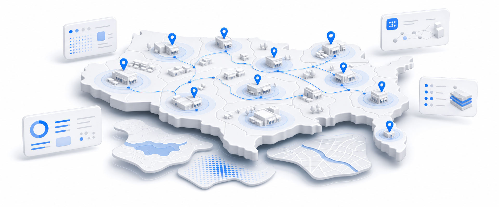
Most data vendors sell you a national license to millions of records you will never contact. BigGeo works differently. You tell us where you sell, and we cut you exactly that geographic slice of the dataset. A single city.
A cluster of ZIP codes. A metro area. A county. Whatever matches your territory. The result is a lean, CRM-ready file containing only the companies in the markets you actually work, delivered at a fraction of the cost of a full national license.
Commercial real estate moves fast. The location data most brokers and developers rely on does not. You are running trade area analyses on POI files that may not reflect a closure from last quarter, benchmarking against competitors that have already pulled out of the market, and making underwriting assumptions on coordinates that were never verified in the first place. The gap between the data you have and the market as it actually exists is where deals go sideways.
Every location is tied to a specific brand and retailer, not just a category. That means you can instantly measure the density of a named competitor, identify national co-tenancy patterns, and filter your analysis by the exact banners that matter to your tenant mix.
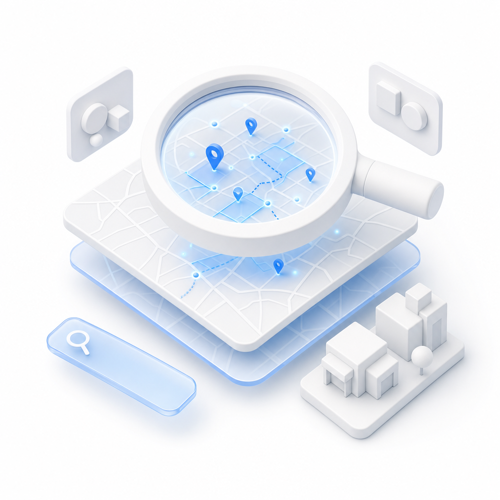
Lat/long coordinates paired with full administrative location data let you run proximity rings, catchment polygons, and clustering analyses at any scale without geocoding overhead or coordinate cleanup before the work begins.

Every location carries an update timestamp and a change history so you can verify a store is still operating before it factors into your underwriting. No more calling ahead or sending a field rep to confirm what the data should already tell you.

Six-plus years of retail footprint history lets you model opening and closure rates, identify which brands are expanding versus contracting in a specific market, and build trend-based arguments that give your site selection pitch a defensible forward view.
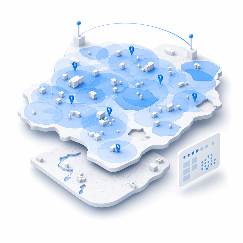
BigGeo AI is live inside ChatGPT and Claude today, giving your team direct access to governed spatial answers against this dataset without writing a query, loading a GIS tool, or waiting on an analyst. Ask about competitor density around a candidate site, co-tenant proximity for a specific corridor, or footprint trends for a named brand and get back a grounded, data-accurate answer in seconds. The underlying retail location data never leaves the governed data path, regardless of how the question is asked.