
United States Retail POI Dataset - Store Locations and Trends

Stop Underwriting Sites on Stale Retail Data

The United States Retail POI Dataset delivers precise lat/long coordinates, verified brand attribution, and update timestamps across retail locations nationwide, purpose-built for trade area and proximity analysis. For the first time, you can confirm a competitor or co-tenant is still operating before the deal is done.
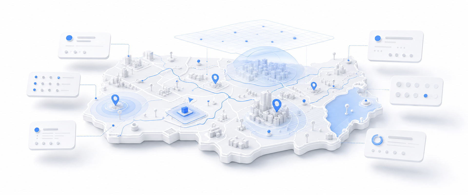
Isometric white geographic platform with blue retail location markers, routes, trade-area overlays, and floating data cards representing nationwide retail POI analysis.
At a Glance

The Data Behind the Decision

#1
Most complete US retail POI coverage
Exact
Lat/long precision per location
Live
Update timestamps on every record
Buy by Geography

Stop buying the whole country. Buy just your markets.

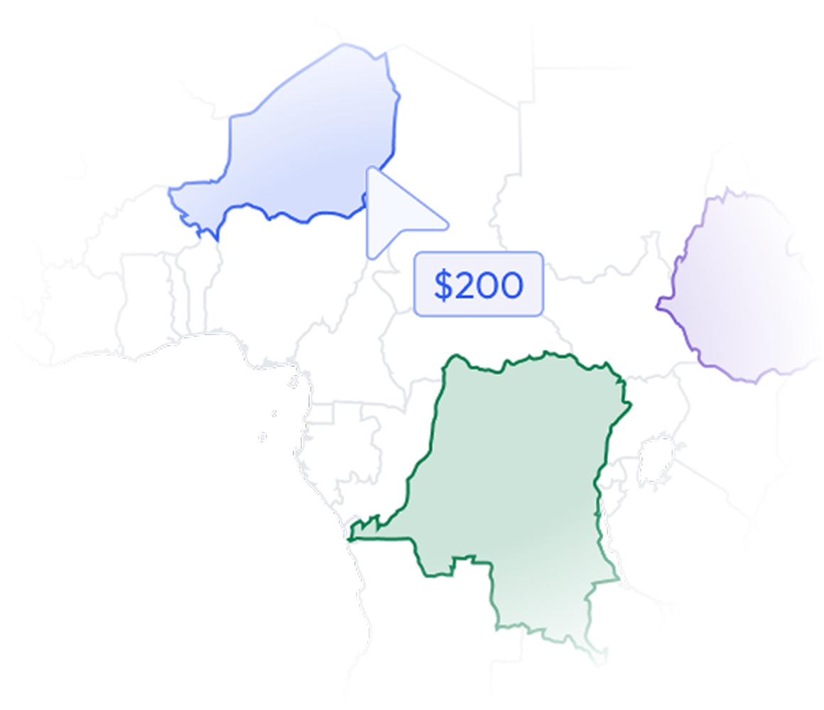
Most data vendors sell you a national license to millions of records you will never contact. BigGeo works differently.You tell us where you sell, and we cut you exactly that geographic slice of the dataset. A single city.

A cluster of ZIP codes. A metro area. A county. Whatever matches your territory. The result is a lean, CRM-ready file containing only the companies in the markets you actually work, delivered at a fraction of the cost of a full national license.
Book a Meeting

See It Run on Your Candidate Sites

The Problem

Site Selection Runs on Bad Location Data

Every trade area model is only as good as the underlying location records. Most retail POI data in the market is months out of date, missing brand context, or imprecise enough to introduce material error into catchment and proximity calculations. Brokers and developers are making seven-figure site decisions on data that was never built for underwriting rigor.

warning
Stale Records Kill Deals
A competitor or anchor tenant that closed six months ago still appears in your proximity model, and you do not find out until after you have advised your client. Update timestamps are not a nice-to-have at underwriting. They are the difference between a defensible recommendation and a costly mistake.
location_on
Imprecise Coordinates Corrupt Analysis
Rooftop-level lat/long precision matters when you are measuring 0.25-mile trade radii or calculating drive-time catchments. Geocoded-to-street-segment coordinates introduce enough error to put the wrong anchor in the right radius or the right competitor outside it.
domain
Brand Attribution Is Incomplete
Without clean, structured brand attribution, you cannot segment competitor density by chain, franchise, or concept. That makes it impossible to answer the question every client actually asks: who is already in the trade area, and are they the right neighbors or the wrong ones.
rule
Verification Requires Manual Fieldwork
Teams are sending people to physically verify locations or burning hours on Google Street View sweeps to confirm stores are still open. That manual process does not scale across a pipeline of candidate sites, and it delays decisions that your competitors are making faster.
What Is In The Dataset

Retail Location Intelligence Built for Underwriting

Rooftop-Level Coordinate Precision

Every record carries exact lat/long coordinates, not street-segment approximations. That precision is what makes sub-half-mile trade area rings and drive-time catchments analytically defensible rather than directionally approximate.
Structured Brand Attribution

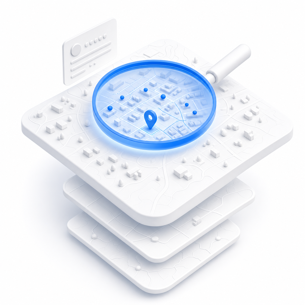
Each location is attributed to its parent brand and concept, so you can segment by chain, filter by category, and answer co-tenancy questions in seconds instead of manually reconciling store names from three different source lists.

Operational Update Timestamps

Every record carries a timestamp indicating when it was last verified. You can filter to recently confirmed locations before running a proximity analysis, which means your underwriting model reflects the retail environment as it actually exists today.
Nationwide Retail Coverage

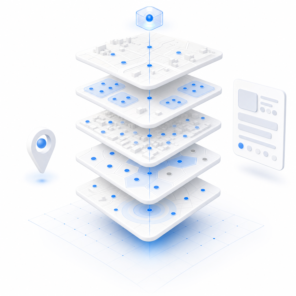
Coverage spans retail locations across the United States, giving you a consistent data layer whether you are evaluating a single candidate site or running a portfolio-wide gap analysis across multiple markets simultaneously.
Let's talk
Thank you! Your submission has been received!
Oops! Something went wrong while submitting the form.
done
The world's spatial data is more accessible than you think. Let's show you how close you already are.
done
You already have the questions. We have the data. Let's see what happens when they meet.
done
The where in your business is more important than you think. Let's find it together.
done
Most spatial data conversations start with a problem nobody thought was solvable. What is yours?
BigGeo AI

Ask Any Trade Area Question in Plain Language, Get a Governed Answer

BigGeo AI is available today inside ChatGPT and shipping in Claude, giving your team direct access to this dataset through plain language queries with no GIS software and no analyst bottleneck. Instead of waiting for a data pull to answer a competitor density question, you ask it the way you would ask a colleague and get a precise, data-grounded answer in seconds. The underlying location data never leaves the governed compute path, regardless of how you access it.

chat
How many grocery anchors are within a 1-mile radius of 4500 Main Street, Kansas City, MO?
chat
Show me all fast casual restaurant locations within the 10-minute drive time of our candidate site in Scottsdale.
chat
Which retail brands in this trade area have the most recently verified operational status in the past 90 days?
FAQ

Frequently asked questions

How current is the location data, and how do I know a store listed as open is actually still operating?
add
Can I combine this dataset with my own site candidate list or internal pipeline data?
add
How precise are the coordinates, and does it matter for trade area radii under half a mile?
add
Do I need GIS software or a data engineering team to work with this dataset?
add
How do I get access and how long does it take to run my first analysis?
add