
US - 2020 Demographic Data Base - Block Group

Stop Opening Stores in the Wrong Markets

The US 2020 Demographic Data Base at the block group level gives retailers 236,546 granular records of consumer profiles, spending behavior, and population density to score candidate sites before a single lease is signed. For the first time, your entire expansion team can compare locations side-by-side in a single spatial environment and walk away with a ranked list, not a gut call.
At a Glance

The Data Behind the Decision

236,546
Total demographic records available
Block Group
Most granular US geography unit
2020 Census
Authoritative baseline vintage
Buy by Geography

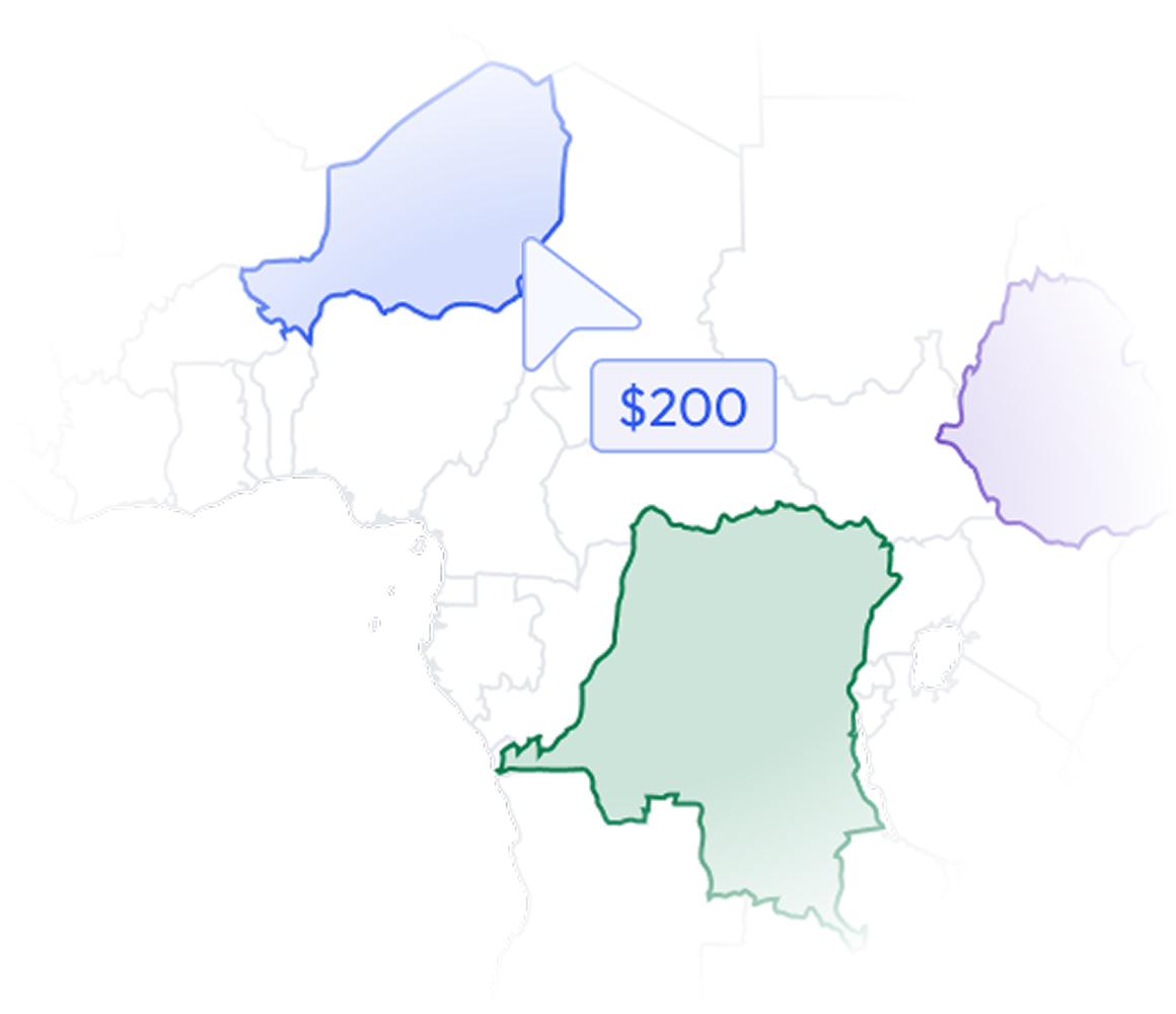
Stop buying the whole country. Buy just your markets.

Most data vendors sell you a national license to millions of records you will never contact. BigGeo works differently.You tell us where you sell, and we cut you exactly that geographic slice of the dataset. A single city.

A cluster of ZIP codes. A metro area. A county. Whatever matches your territory. The result is a lean, CRM-ready file containing only the companies in the markets you actually work, delivered at a fraction of the cost of a full national license.
Book a Meeting

See Your Candidate Sites Scored Live

The Problem

Why Good Retailers Pick Bad Locations

Site selection is the highest-stakes spatial decision a retailer makes. Yet most teams are still running it with spreadsheets, siloed reports, and demographic data that stops at the ZIP code level. By the time a bad location becomes obvious, the lease is signed, the build-out is done, and the damage is already counted in quarterly losses.

layers
ZIP Code Data Hides Reality
ZIP codes average 7,500 people and collapse the neighborhood-level variation that determines whether a store thrives or struggles. Block-group data reveals what ZIP codes bury.
hub
Siloed Datasets, Fragmented Decisions
Your demographic pull lives in one tool, your traffic data in another, and your competitor map in a third. No one on your team is looking at the same picture at the same time, and that gap is where bad calls get made.
warning
Cannibalization Risk Goes Undetected
Opening a new location that bleeds sales from your nearest store is an avoidable mistake. Without spatially-aware trade area analysis at the block group level, you often do not see it until revenue reports tell you it already happened.
flag
Capital Committed Before Conviction
Site selection processes that lack a rigorous scoring framework force decisions before the team has enough signal. The result is a portfolio of locations chosen by momentum, not by data.
What Is In The Dataset

Block-Group Precision Your Competition Is Missing

Block-Group Population Profiles

Understand exactly who lives within each candidate trade area, broken down to the block group level. Identify whether the local population matches your core customer profile before committing to a footprint.
Household Income Distribution

Know the spending capacity of the households surrounding every candidate site. Avoid locations where income levels will structurally cap your basket size or limit your category mix.

Age and Family Structure Data

Match store format and product assortment to the actual age cohort and household composition in the trade area. A family grocery format placed in a predominantly single-adult neighborhood is a recoverable mistake, but only if you catch it first.

236,546 Records Nationwide

Evaluate candidate sites anywhere in the US against a consistent, standardized demographic baseline. Compare markets in different states on the same scoring framework without normalizing across incompatible data sources.

Let's talk
Thank you! Your submission has been received!
Oops! Something went wrong while submitting the form.
done
The world's spatial data is more accessible than you think. Let's show you how close you already are.
done
You already have the questions. We have the data. Let's see what happens when they meet.
done
The where in your business is more important than you think. Let's find it together.
done
Most spatial data conversations start with a problem nobody thought was solvable. What is yours?
BigGeo AI

Ask Location Questions in Plain Language, Get Governed Answers Instantly

BigGeo AI is live in ChatGPT today and shipping in Claude, giving your analysts direct access to this demographic dataset through the tools they already use. Instead of submitting a GIS request and waiting two days for a demographic summary of a candidate trade area, your team types a plain-language question and gets a governed, data-grounded answer in seconds. The data never leaves the platform, and every answer is traceable to the underlying block-group record, not a model approximation.

chat
What is the median household income within a 2-mile radius of 3450 Peachtree Road NE, Atlanta?
chat
Which candidate sites in the Dallas metro have the highest concentration of households with children under 12?
chat
Compare the age distribution between our two finalist locations in Phoenix at the block group level.
FAQ

Frequently asked questions

We already license demographic data from another provider. Why would we switch or add this?
add
Our analysts work in GIS tools already. Does this replace that workflow?
add
How current is this demographic data, and how often is it refreshed?
add
How does this data get into our existing models and pipelines?
add
What does getting started actually look like? We do not have months for an onboarding process.
add