
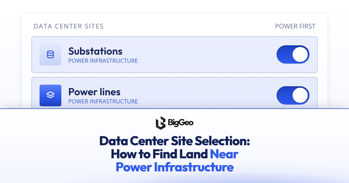
To find land suitable for data centers near power infrastructure, start with the power. Map the substations and transmission lines in your target region, then screen the land around them for parcels, zoning, fibre and hazard risk. That order is the core of data center site selection, because power decides your shortlist before anything else does.
This guide walks through what to look for, which data to gather, how to narrow a region down to a few parcels, and where to get the data behind the search.
Why power decides data center site selection
A data center can work around a lot of things. It cannot work around a lack of electricity. A parcel that looks perfect on price and zoning is worthless if the nearest substation cannot serve the load, or if connecting to it is too far or too slow.
When you look at power infrastructure near a candidate site, check four things:
- Distance to the nearest substations and transmission lines. Closer usually means a simpler connection.
- The voltage of the lines nearby. Larger loads generally need higher-voltage service.
- Available capacity. Ask the utility what a substation can serve, and on what timeline.
- A second route in. Redundancy matters for uptime, so look for more than one feed.
Treat this as the first filter. Everything below is about checking the land that survives it.
The data layers a site search needs
Good data center site selection is a layering exercise. Each layer answers one question, and a site has to pass all of them.
- Power infrastructure: Where are the substations and lines, and what can they serve?
- Parcels and land use: Who owns the land, how big is it, and what is on it today?
- Zoning: Is a data center allowed, or could it be?
- Fibre and connectivity: Can you get enough network capacity to the site?
- Hazards: What is the flood, seismic or other natural risk?
All of these are location data: facts tied to a place on Earth. Spatial data is just that, data you can put on a map and ask "where" about. A site search is a "where" question from start to finish.
How to screen a region down to candidate parcels
Work from wide to narrow. Each step removes land so the next step has less to check.
- Pick the region. Choose a state, province or metro area based on your business needs and the utilities that serve it.
- Map the power. Plot substations and transmission lines, and draw a distance band around them. Everything outside the band drops out.
- Overlay parcels and land use. Keep parcels large enough for your build, with owners and current use that make a deal realistic.
- Check zoning. Remove parcels where a data center is not permitted and a change is unlikely.
- Add fibre. Keep sites close to the network routes you need.
- Remove hazard areas. Drop parcels in flood zones or areas with high seismic or other risk.
- Rank what is left. Compare the survivors against your checklist (below) and start conversations with the utility and the landowner.
What the common tool types do well
Buyers searching for land near power usually run into three kinds of tools, and each has a real job.
- Land marketplaces and listing sites show parcels that are for sale, which is useful once you know the kind of site you want.
- Grid maps show the power network, which helps with the first filter.
- Site screeners combine several layers into a score, which saves time early in a search.
Each one covers part of the problem. The limit is that your own search may need layers a single tool does not carry, or you may want to run your own questions across the data. That is where getting the underlying datasets becomes useful.
Where to get the location data behind the search
The BigGeo Marketplace is a place to find and buy location datasets, then use them in your own analysis. You can search and filter listings, and see coverage and sample data before you buy.
That preview step matters for site work. Before you spend anything, check that a dataset covers your region, that the sample looks the way you expect, and that it is current enough for the decision you are making. Confirm what is listed for your area today, since coverage differs from one dataset to the next.
Ask your questions in plain English
Once the data is in hand, you do not need a specialist to query it. BigGeo AI lets you ask questions in plain English, and the BigGeo MCP server connects the same data to AI assistants such as Claude or ChatGPT. A question like "which parcels in this county sit within a set distance of a substation?" becomes a question you ask, not a query you write.
One limit to know: an assistant can only reach data that its owner has released for BigGeo AI. If a dataset is not released, it will not show up in the answer.
A checklist to compare sites
Use the same list for every candidate so the comparison is fair.
- Distance to the nearest substation and transmission line
- Line voltage and utility-confirmed capacity
- Timeline to connect, and a second route in
- Parcel size, ownership and current use
- Zoning status and what a change would take
- Fibre routes nearby
- Flood, seismic and other hazard exposure
- Data you used, where it came from, and how recent it is
FAQ
How do I find land suitable for data centers near power?
Map substations and transmission lines first, draw a distance band around them, then filter the land inside it by parcel size, zoning, fibre and hazard risk. Confirm capacity with the utility before you go further.
What data do I need for data center site selection?
You need power infrastructure, parcels and land use, zoning, fibre and connectivity, and hazard data such as flood and seismic risk. Check coverage and recency for your region before you rely on any of it.
Can I check a dataset before I buy it?
Yes. On the BigGeo Marketplace you can see coverage and sample data before you buy, so you know what you are getting for your region.
Start with the data
If you are building a shortlist, begin by checking what location data is available for your region. Browse the BigGeo Marketplace at https://marketplace.biggeo.com and look at coverage and sample data before you decide what to buy.