
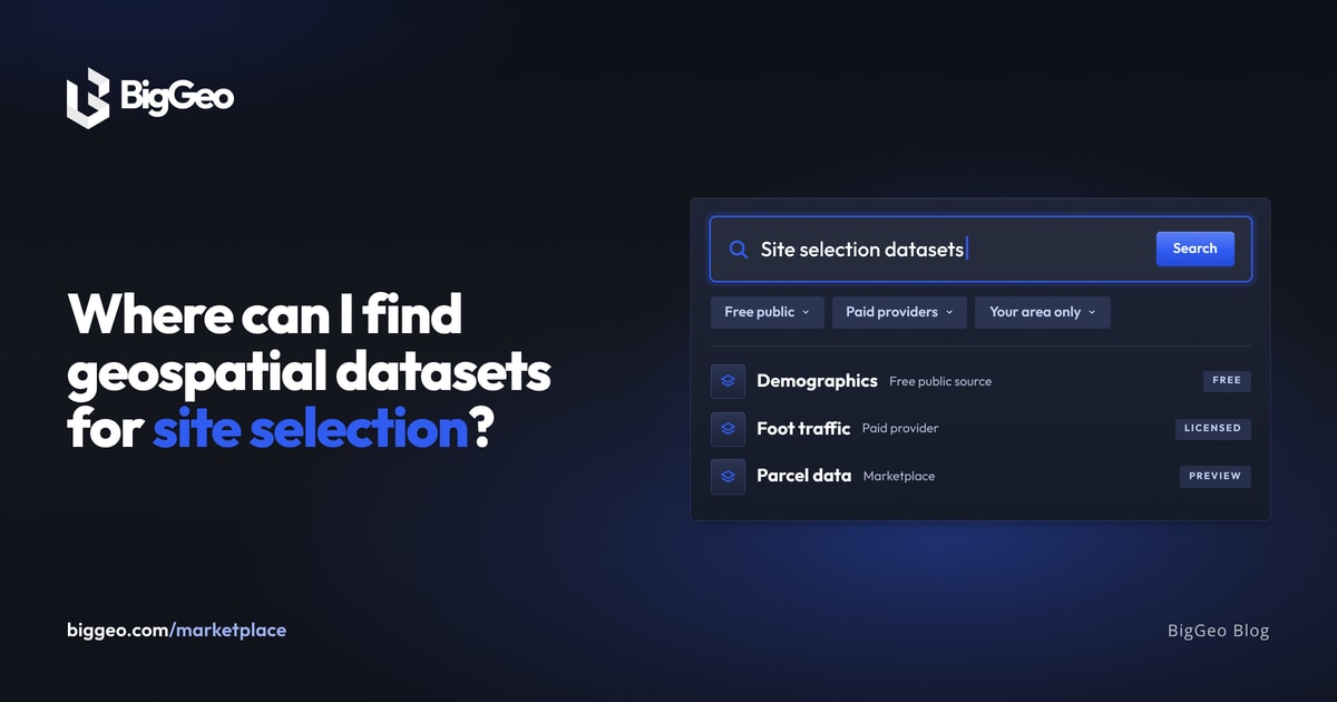
You can find geospatial datasets for site selection in three places. Start with free public sources like the U.S. Census Bureau or Statistics Canada. Then add data providers for what public data lacks, like foot traffic. Last, use a marketplace where many providers sit side by side. The BigGeo Marketplace is one: you browse on a map, preview coverage and a sample, and buy only the area you need.
Geospatial data is any data tied to a place on Earth. An address, a store location, a drive time, a flood zone. Site selection needs several kinds at once, and that is why the search feels slow.
What data does a site selection decision need?
- Demographics: Who lives here, and how many?; U.S. Census Bureau (data.census.gov), Statistics Canada (statcan.gc.ca)
- Jobs and wages: Can people here afford this?; Bureau of Labor Statistics (bls.gov), Statistics Canada
- Points of interest (POI): What is already nearby?; OpenStreetMap, Overture Maps, paid providers
- Foot traffic: How many people pass this spot?; Paid data providers
- Parcels and constraints: What can be built, and what are the risks?; Paid providers, public county records where available
Should I start with free public data?
Yes. Public sources cost nothing and cover the basics well. Census data tells you who lives in a trade area. Labour statistics tell you about work and income.
Free data has limits. Formats differ from source to source. Coverage varies by place. Foot traffic and current parcel data usually sit with paid providers.
Where does paid data fit?
Paid data fills the gaps. The catch is how it is usually sold. Spatial data has long been sold at national scale. If you need foot traffic for Phoenix, you pay for the whole country, wait for a file, and get someone to load it. By then the question may have moved on.
How do I find and buy datasets on the BigGeo Marketplace?
- Browse your way. Look by category, industry (retail, for example), use case, geography, or provider.
- Check coverage first. Each listing has a preview map showing where the data exists and how dense it is.
- Look at a sample. Listings include a sample you can open in DataScape before you commit.
- Pick your area. Buy one metro, one state, or a custom boundary, where the provider allows it.
- Use it right away. A purchase is live in DataLab, DataScape and BigGeo AI the moment it closes.
What does this look like for a retail team?
Say you are comparing three metros for a new store. You pull demographics and income from public sources. Then you open the Marketplace, filter to retail, and find foot traffic and POI listings. You check each preview map, open a sample, and buy only the three metros. The data sits in one workspace, so you can compare trade areas side by side. For help choosing the analysis tool itself, see the best tool for retail site selection analysis.
Can I ask an AI assistant instead?
Yes, for quick questions. BigGeo AI works inside ChatGPT and Claude. You add it once, then ask location questions in plain language and get answers backed by real data, not a guess from training. New accounts start with 500 free credits, and BigGeo has free datasets to start with, so you can try it without buying anything.
FAQ
What is the best free source for site selection data?
For people and income, the U.S. Census Bureau and the Bureau of Labor Statistics, or Statistics Canada. For places, OpenStreetMap and Overture Maps. Free sources rarely cover foot traffic.
Can I buy data for just one city?
Yes. Marketplace datasets are available by boundary: a metro, a state, or a custom area, where the provider allows it.
How do I know a dataset covers my area?
Every listing has a preview map. Check it, and open the sample, before you buy.
What types of data are on the Marketplace?
Foot traffic, parcels, demographics, infrastructure, environmental layers, risk data, and more.
Do I need GIS skills?
No. You browse on a map and, if you like, ask questions through BigGeo AI in plain language.
Find your data
Browse the BigGeo Marketplace, filter to retail, and preview coverage for your first site.